Grand Teton National Park is the second National Park which we visited during our one week trip. We started from Rexburg to the Grand Teton National Park by early morning around 6 AM through the Teton Scenic Byway. We decided to drive along the Teton Scenic Byway and the Highway 33 from Rexburg passes through farmlands with drizzlers on and crosses the Teton River. The path passes through the Teton Valley and joins the Teton Scenic Byway just before it crosses the Teton River. The scenic byway runs along the western slope of the spectacular Teton range. The Tetons contrasts sharply with the rolling agricultural fields to the north and west. The scenic way passes through the small towns – Driggs, Victor, and Tetonia and through Targhee National Forest in Wyoming. The path passes through the steep Teton pass and Wilson. We entered the park through Jackson Hole. The entire route is scenic and you can enjoy beautiful vistas around every turn in the path.
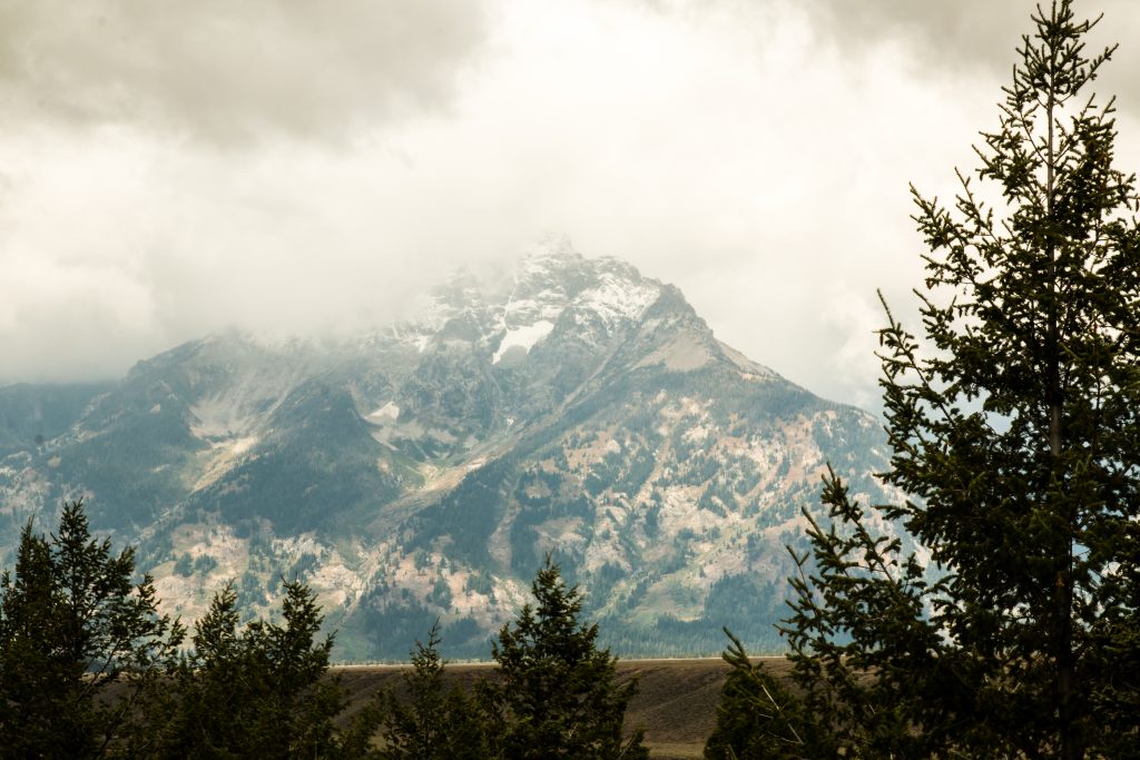
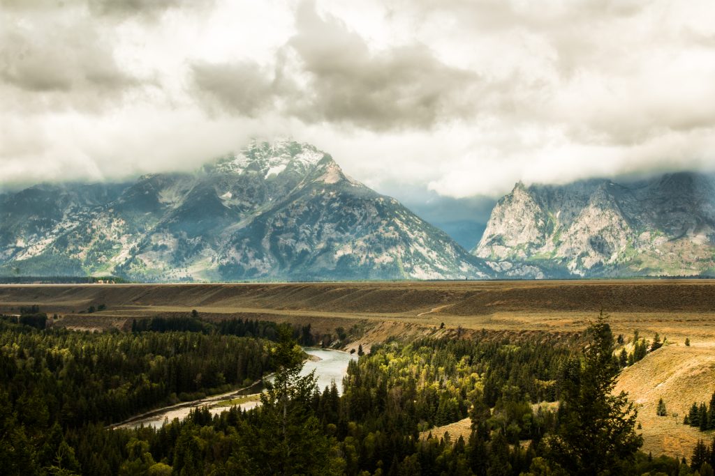
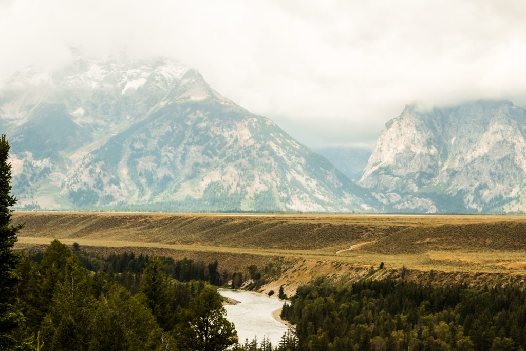
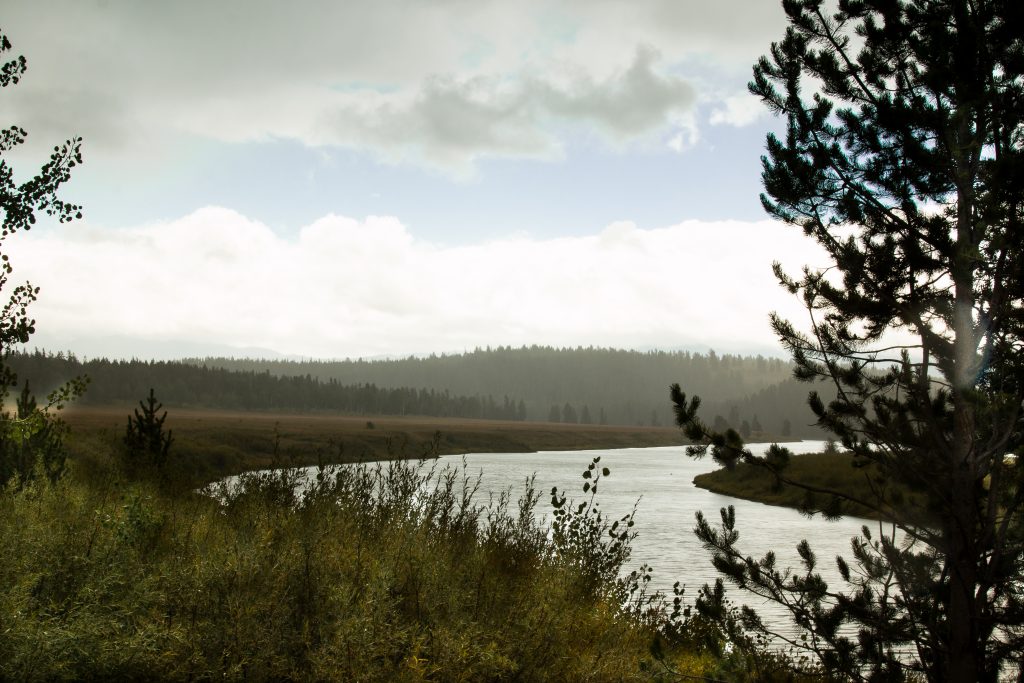
This National park is located south of Yellowstone National park and to the north of the town Jackson. The park protects the stunning scenery of the Teton Range and preserves a diverse habitat of wildlife. The Teton Range is 7000 feet above the valley of Jackson Hole. The elevation of the park ranges from 6,320 feet on the sagebrush-dominated valley floor to 13,770 feet on the windswept granite summit of the Grand Teton. Between the summit and plain, forests carpet the mountainsides. During summer, wildflowers paint meadows in vivid colors. Crystalline alpine lakes fill glacial cirques, and noisy streams cascade down rocky canyons to larger lakes at the foot of the range. These lakes, impounded by glacial debris, mirror the mountains on calm days. Running north to south, the Snake River winds its way through the valley and across this amazing scene.
What is it known for?
The Park is well-known for the Teton Range and Alpine crystalline lakes.
The Teton Range dominates the entire park and the park’s skyline. This landscape was born out of an ancient past and shaped by recent geologic forces. Beginning 100 million years ago, long before today’s mountains formed, the collision of tectonic plates along North America’s West coast bowed-up a vast block of sedimentary rock deposited by ancient seas. Beginning 10 million years ago, movement on the Teton fault generated massive earthquakes causing the mountains to rise while the valley floor dropped.
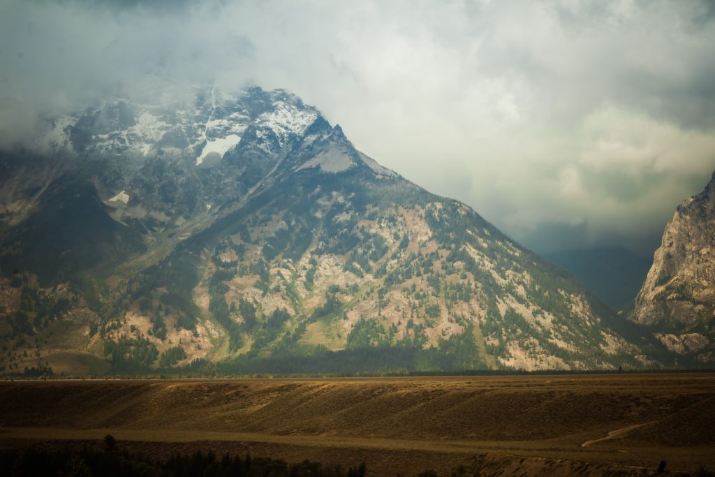
While movement on the Teton fault lifted the range, erosion sculpted the landscape. Starting two million years ago, massive glaciers up to 3,500 feet thick periodically flowed south from Yellowstone and filled the valley – eroding mountains, transporting and depositing huge volume of rocky glacial debris. As ice sheets filled the valley, alpine glaciers sculpted the jagged Teton skyline. These glaciers carved the peaks, canyons and deposited moraines along the glacier’s edge.
The Grand Teton is at 13,770 feet, towers about 7,000 feet above the valley floor suggesting the offset across the fault is up to 30,000 feet. The lack of foothills is due to the presence of the Teton fault.
Glaciers carved most of the lakes in the park a thousand years ago. As the glaciers moved they gouged out the valley floor. When the glaciers melted they left behind a depression in the ground that filled with water from melting glacial ice. These depressions became the lakes that we see today. The park consists of Jenny Lake, Jackson Lake, Surprise Lake, and Taggart Lake.
FAST FACTS:
- Teton Valley is the premier producer of seed potatoes on Earth
- There is an app available for the Grand Teton National Park. Search in App stores as NPS Grand Teton.
- The Grand Teton App provides essential information for planning your trip for the visit.
- The Teton Range consists 2.7-billion year old in the core of the range and some of the oldest in North America, but these mountains rank among the youngest in the world.
- There are 11 active glaciers in the Grand Teton National park and named as Teton, Middle Teton, Teepee, Schoolroom, Petersen, Falling Ice, Skillet, and East, Middle, and West Triple glaciers.
- Jackson Lake, the park’s largest lake, is a natural lake raised by a 39-foot tall man-made dam.
Facilities:
- The park’s entrance fee is $35 but I highly recommend to buy National Park Annual pass – America the beautiful pass. The cost of the pass is $80 and it is valid for 1 year from the date of purchase. The park is accepted in all the parks managed by NPS and Federal Lands. The link to purchase the pass is here
- Download the park’s official app to explore the park and plan your trip. The app is available in the app store for free download.
- Cellular connection is not available inside the park, hence I suggest to download the maps before entering the park and use offline when inside the park
- I highly suggest to bring your own food and water bottles as food options inside the park is very less
- Sunscreen, hat, and sunglasses is must
- Carry umbrella or raincoat with you as you can’t predict the weather inside the park
- Carry a pack of water bottles and hydrate yourself often as you are in the geothermal place.
- Store food in a secured place due to the threat from wildlife
- Never feed or approach wildlife
Top Things to Do
Grand Teton National Park offers activities for every type of person.
- Scenic Rides
The park offers the below three scenic drives with lookouts and viewpoints. The Teton Park Road follows the base of the Teton Range from Moose to Jackson Lake Junction. Some of the important viewpoints along the Teton loop road are
- Oxbow Bend: Provides an amazing view of Mt. Moran
- Inspiration Point
- Elk Ranch Flats
- Schwabacher’s Landing: Provides fantastic views of Teton and their reflections in the Snake River
- Snake River Overlook: Became famous after Ansel Adams’s photo of Tetons
- Cathedral Group turnout: This turnout offers a great view of the three highest peaks in the Teton range: Teewinot, the Grand Teton and Mt. Owen
- Teton Glacier turnout: (About 4 miles north of Moose Junction on Teton Park Road). This turnout highlights the largest glacier in the park.
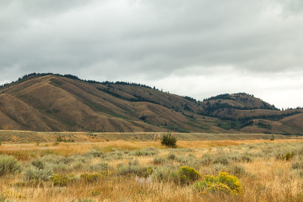
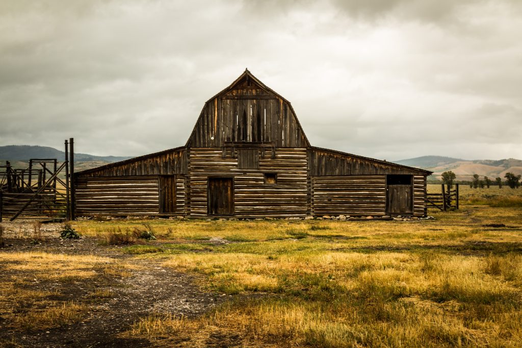
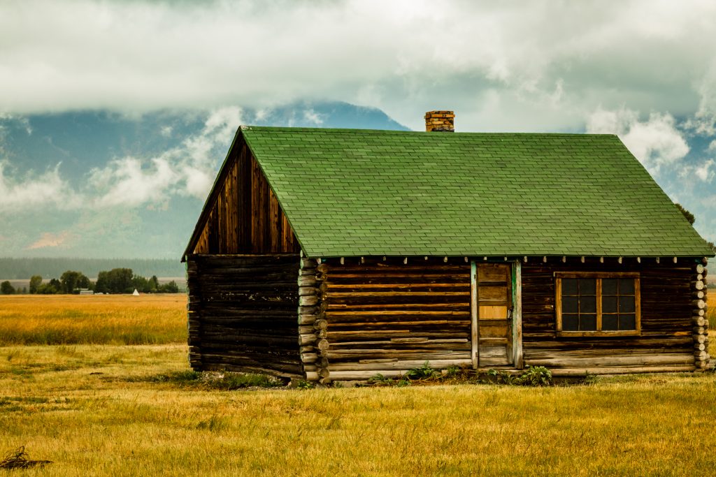
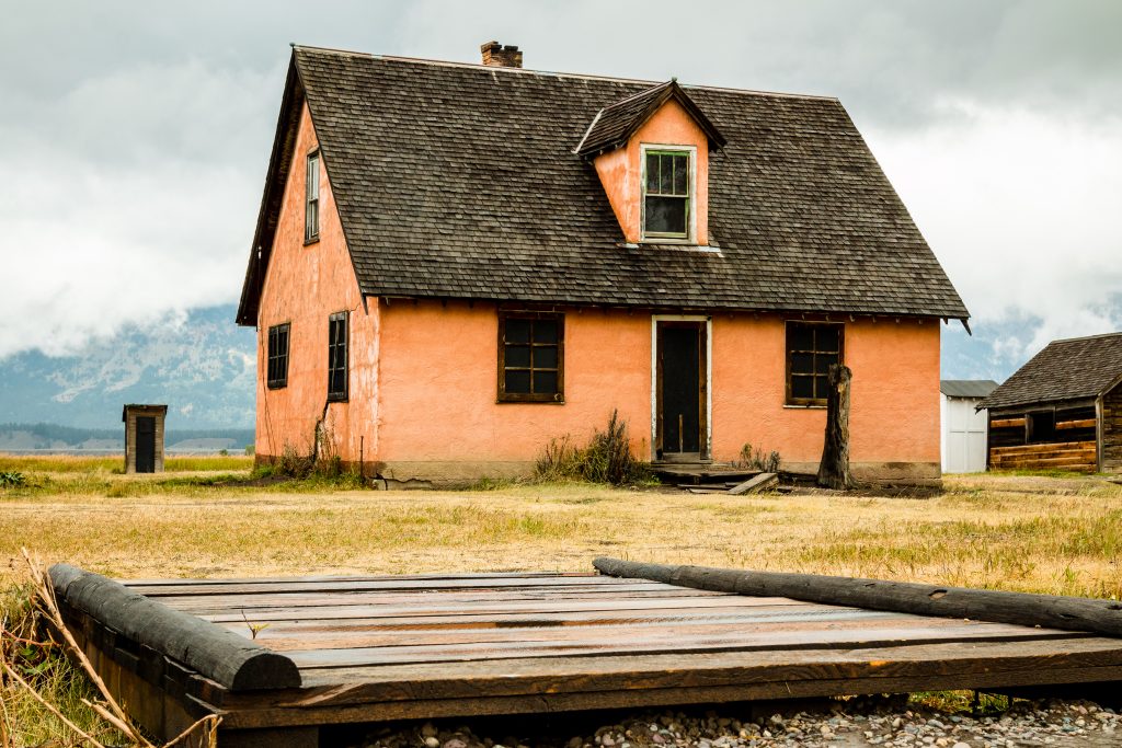
- Antelope Flats and Mormon Row
The Jenny Lake Scenic Drive skirts the East Shore of Jenny Lake and provides spectacular views of the peaks. Access the scenic drive from North Jenny Lake Junction. Drive west toward the mountains, and turn left (south) onto the one-way scenic drive. The scenic road returns to the Teton Park Road just north of South Jenny Lake.
The Signal Mountain Summit Road climbs 800 feet (242 meters) to panoramic views of the Teton Range, Jackson Hole valley and Jackson Lake. Two overlooks provide valley views.
- Explore each district in the park
Moose: Moose district is in the Southern part of the park and 12 miles north of the Jackson. Some of the must-do is mentioned below
- Craig Thomas Discovery Center: Experience the exhibits in the park and view the park film in the auditorium
- Manors Ferry Historic District: Historic District and take a self-guided tour to learn about the history of Jackson Hole
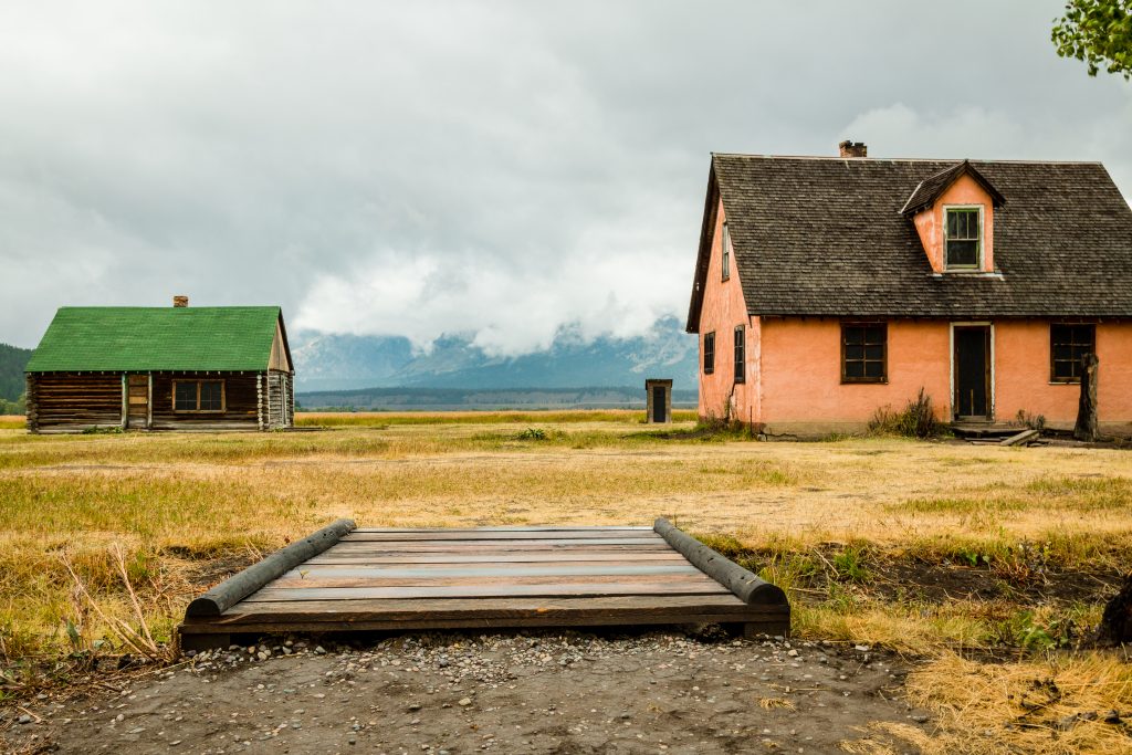
- Mormon Row: Remaining buildings of the vibrant community – Mormons. The row was once a community of homesteads, church, school and swimming hole.
- Taggart Lake: A 3.5-mile round trip hike on the northwest of the Moose junction which offers the spectacular view of Teton Range. Trailhead to Bradley Lake and Garnet Canyon is accessible from Taggart Lake
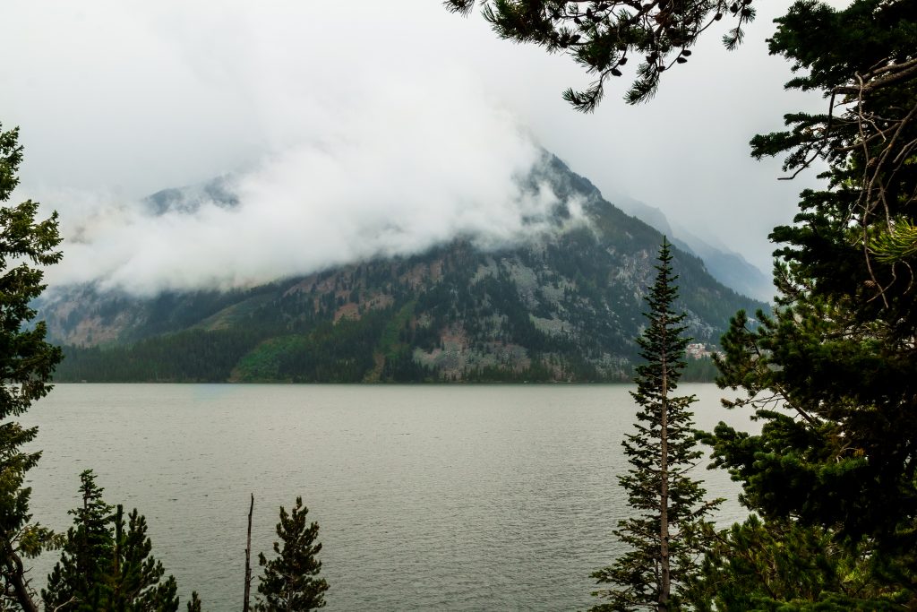
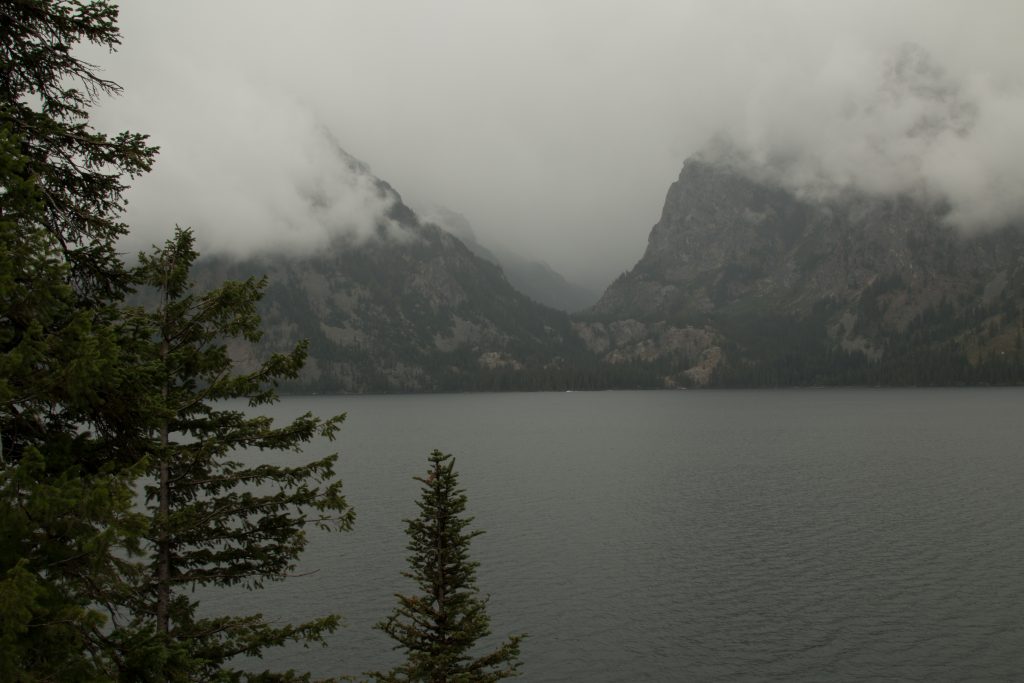
Jenny Lake District: Jenny Lake provides access to glacially-formed lakes and beautiful hikes with the sceneries of mountains. Jenny Lake provides a fantastic view of the Tetons range and its clear reflection on the lake. Some of the notable spots are
- Jenny Lake Visitor Center
- Stroll along the shore of String Lake
- Hike to Leigh Lake
- Scenic drive at North Jenny Lake: Turn left at the North Jenny Lake junction and enjoy the scenic one-way loop to the South Jenny Lake.
Colter Bay: Colter Bay provides some of the best wildlife viewing opportunities in the park and access to the marinas, boat, and trails.
- Jackson Lake
- Jackson Lodge
- Oxbow Bend: a connector between Jackson Lake Junction and Moran Junction, is a scenic river bend where you can find moose, elk, eagles, and herons
Laurance S. Rockefeller Preserve: The preserve offers unique sensory exhibits and trailhead to Phelps Lake
- Do Day Hikes
There are numerous hikes available in the Grand Teton National Park. The hike brochure can be accessed on the Park’s website – https://www.nps.gov/grte/planyourvisit/upload/Dayhikes17b-access.pdf
- Boat Rides and Floats
The Snake River flows through the park and features world-class fishing, unparalleled wildlife viewing, and mild rapids depending on the time of year. Many of the more accessible lakes are open for a variety of activities. Motorboats are permitted on Jenny (10 horsepower maximum) and Jackson lakes. Human-powered vessels are permitted on Jackson, Jenny, Phelps, Emma Matilda, Two Ocean, Taggart, Bradley, Bear paw, Leigh and String lakes. Sailboats, water skiing, and windsurfers are allowed only on Jackson Lake.
- Wildlife Viewing
Grand Teton National Park protects the diverse habitat of wildlife and one of the most popular activities in the park is Wildlife Viewing. Some of the best wildlife viewpoints are
- Oxbow Bend
- Willow Flats
- Elk Ranch Flats
- Blacktail Ponds
- Antelope Flats and Mormon Row
Our Experience:
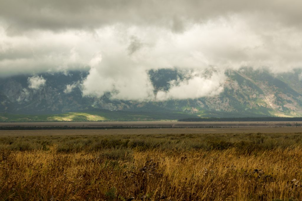
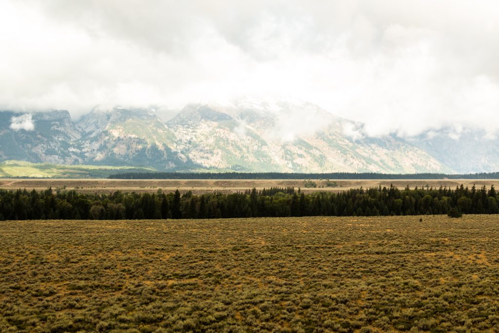
We reached Grand Teton National park around 9 AM in the morning and we decided to spend the entire day in the park. We wanted to explore the Teton Ranges and planned to do a hike or two. We grabbed the guide at the Jackson Hole Visitor center and we were informed by the ranger that we might not be able to view Tetons on the day as it was very cloudy and windy. Though we were disappointed, we wanted to try our luck and get a glimpse of the Tetons. The Teton Range will be visible on your left side throughout the Grand Teton Loop. By the time we reached Mormon Row, it started to pour down heavily and the entire range was covered with the mist.
We couldn’t step down from our car as it was raining heavily with occasional thunders. We could only drive along the Grand Teton Loop and enjoy the viewpoints from the car alone. Wish the day could have been sunny! Even though it rained, we decided to take a stroll along the Jenny Lake. Never ever miss out the Snake River overlook which provides a fantastic view of the Snake River.

Tips:
- Download the Park App from the App store which provides valuable information for planning your trip.
- Cellular service is not available inside the park. Hence plan accordingly. Download offline maps for your commute inside the park.
- Check out the weather inside the park. The Teton Range will not be visible if the day is cloudy.
- Check at the visitor center for the Trail closures.
- Use experience and your judgment while hiking and driving across the mountains.
We were highly disappointed as we couldn’t clearly view the Teton Range. The Jenny Lake was so beautiful and we wish the sun was sunny to enjoy the mountain sceneries. We waited for a few hours for the rain to stop but then it strengthened as the hours pass by. Instead of wondering as for when the rain stops, we decided to leave the park and drive to Glendale where we had planned to stay for the next two days. Glendale is a small town which is close to both Zion and Bryce Canyon National Park. The drive from Grand Teton National Park to Glendale through US 89 was very scenic and passes along the Snake River from Jackson until Alpine. The river runs close to the structured rocks and pine forest which is easily viewable from your vehicle. The route passes through the Targhee National Forest and one can get a glimpse of Echo reservoir along the way.
The route takes you through the Heber Valley town offering stunning views of Jordan River. The route then follows Highway 189 which passes through Deer Creek State Park and Upper Falls Park. The path offers views of Slide Canyon and one can view the Bridal Veil Falls on the highway near to the town Provo. The Bridal Veil Falls is so beautiful like a thin bridal veil and flows down from the top of the canyon.
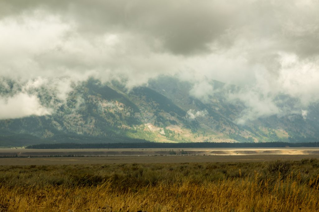
Grand Teton National Park – Amazing views of the Teton Range, Alpine lakes and habitat of diverse wildlife. I wish to revisit the park in future when the weather is perfect to admire the beauty and majesty of the Teton Range.
If you like my travelogue and wish to follow my travel stories further, then do like and follow my profile here – Facebook, Google, Instagram
Thanks,
Karthi
Facts gathered from the Park Website and the Pamphlets. The pictures in the post are clicked by me. The content and the pictures in the post belongs to the author. Reproduction and distribution of the content/pictures without prior permission from the author are prohibited.

