We planned to visit the Great Smoky Mountains on the second day! How do I wish to pause that day in my life? A day is not sufficient to appreciate the magnificent mountains.
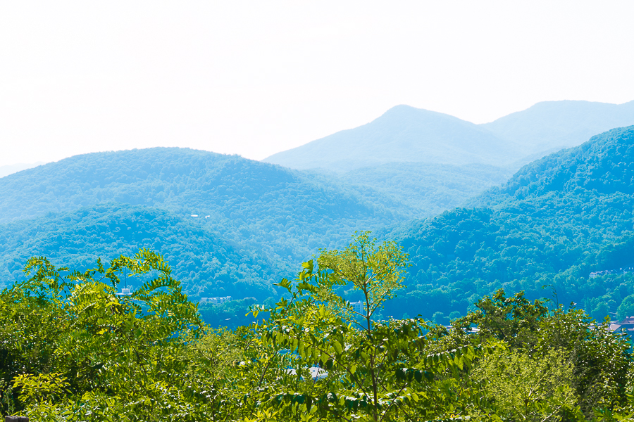
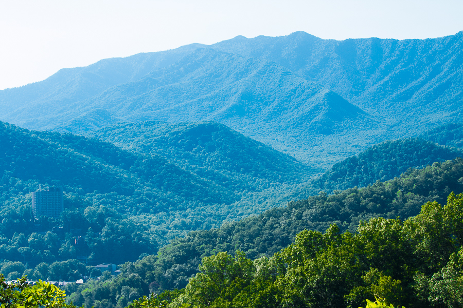
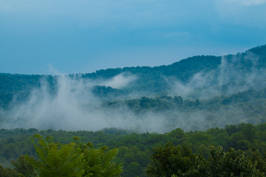
The Great Smoky Mountains stretch from the Pigeon River in the northeast to the Little Tennessee River in the southwest. The Great Smoky Mountains are named after the blue smoky mist that surrounds them. They provide a picturesque backdrop to the mountain towns. The Smoky Mountains offer assorted activities to do throughout the year, including hiking trails, scenic routes and sightseeing spots.
Smokies in a day
If you are planning to visit the Smokies on a single day, then the perfect plan would be to start your day early and head to the Sugar Lands Visitor Center. Drive towards Cades Cove Loop. On the way, you will find the Laurel Falls Hike – the shortest hiking trail. Explore the history along the scenic routes in the Cades Cove Loop (which you can avoid if you are not interested in visiting Historic sites. Instead, you can enjoy Roaring Fork Auto trail). Once the loop is completed, drive along Newfound gap which offers a number of scenic spots to overlook the spectacular Highlands and visit Clingman’s Dome. From the Dome, head towards Cherokee gap route. This was the most suggested plans for a day, which would cover the entire Smoky Mountains National Park.
P: S. None of the networks will be available inside the park. The best-suggested method is to follow the boards on the sides of the road and the map. You will not find any food outlets in the rest area, hence it is advisable to pack your food for the day. There are a number of picnic grounds in the park. You can enjoy your food in a scenic area enjoying the gently blowing breeze.
Laurel Falls:
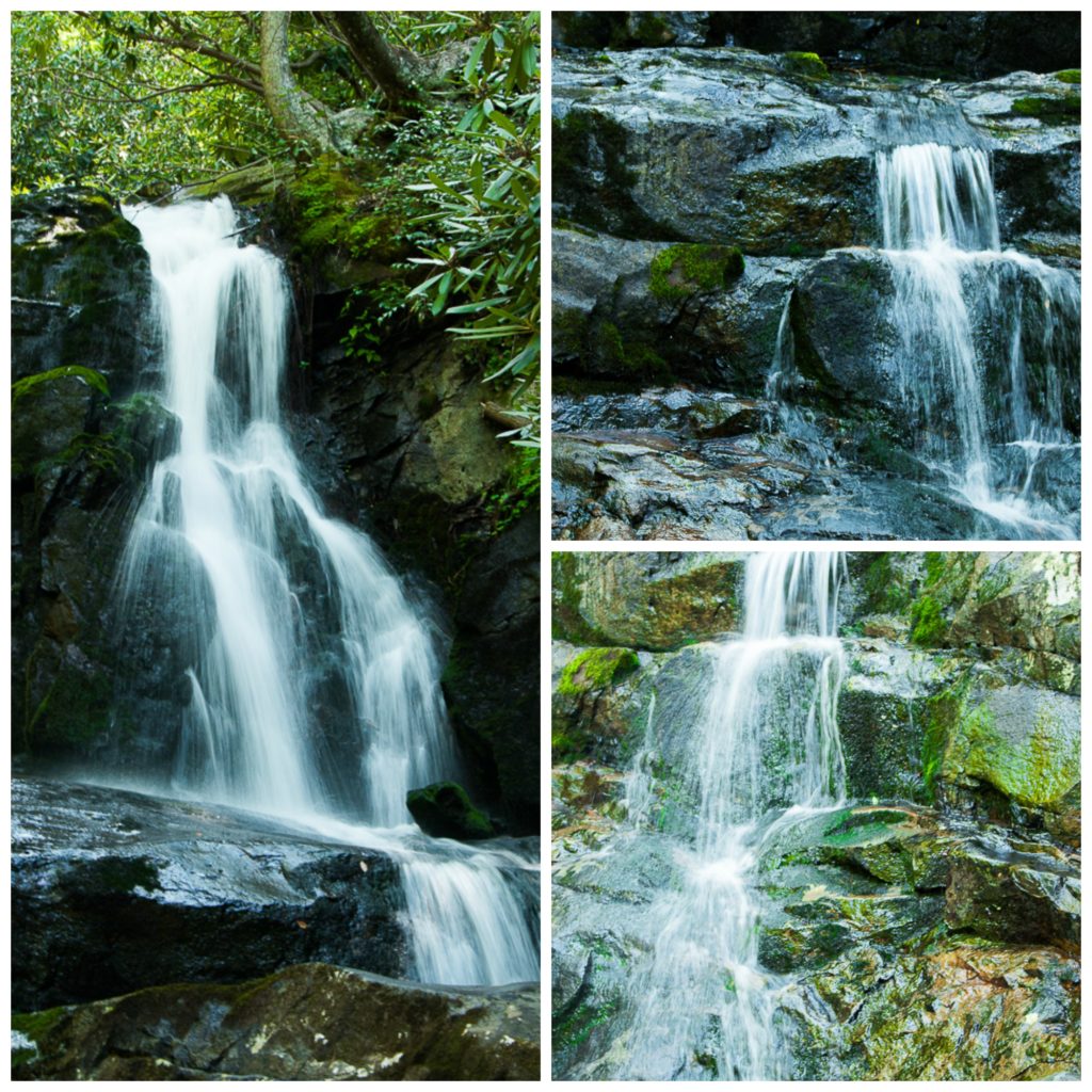
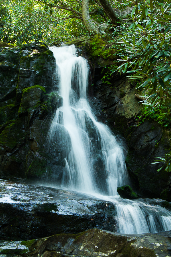
We reached Sugarland Visitor Center and snaffled a map of the magnificent mountain chain. We decided to stop over at the Cades Cove Loop and followed the Little River Road. Approximately around 3.5 miles, you will find one of the longest and the most prominent surfaced track in the Great Smoky Mountains. Laurel Falls is the self-guiding nature trail and one of the most periodically visited pathway. There is varied features along the trail – wooden ridges, a cozy little stream, wildflowers and scenic mountains. Though the crowd heads to the Laurel falls every time, the track extends for another three miles to the cove mountain. The area is balmy and parched. One could see pine-oak trees on the sides of the pathway. The trail was originally built as a route to the Cove Mountain to access it during forest fires. The Laurel Falls derived its name from the shrubs (rhododendron and mountain laurel) that grow near the trail and waterfall. The trail is 2.6 miles round-trip and one could experience the vast greenery and the blooming rhododendron towards your way to the 80 ft. waterfall which consists of an Upper and Lower section. Apart from the falls, one can step down to the waterlogged area on the downside, enjoy the shortfalls and linger there sometime. You could see many kids enjoying the cool spray on their face and making memories of a lifetime.


If you are lucky enough, you could see a bear too. Once you are near to the falls, you could hear the sound of the water gushing out. I could stay all day long and enjoy the music of the falls.
The other notable trail is the Roaring Fork Motor Nature Trail, which is the home of the largest and fastest flowing mountain streams of the Mountains. The motor trail is six miles long and offers views of rushing mountain streams, rainbow falls (near the entrance) and Grotto Falls (another popular waterfall)
The park has almost 150 trails (Wildflower trail, wildlife trail, and waterfall trail) auto tours and quiet walkways throughout the stretch. Please do check the Starter kit and choose the trails according to your interest. Also, don’t forget to read the instructions mentioned in the kit.
We went for a hike in the Laurel Fall trail and we returned after enjoying the music of the falls. There are many picnic spots near to the falls where one can rest and enjoy their lunch. Someday, I would visit Tennessee again and complete all the trails in the Smoky Mountains Park, camp in the campground and capture all their wildflowers through my lens. If you are a person like me, camp in one of the campgrounds available at every turn of the park.
Cades Cove Loop
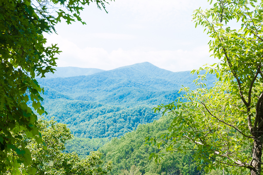
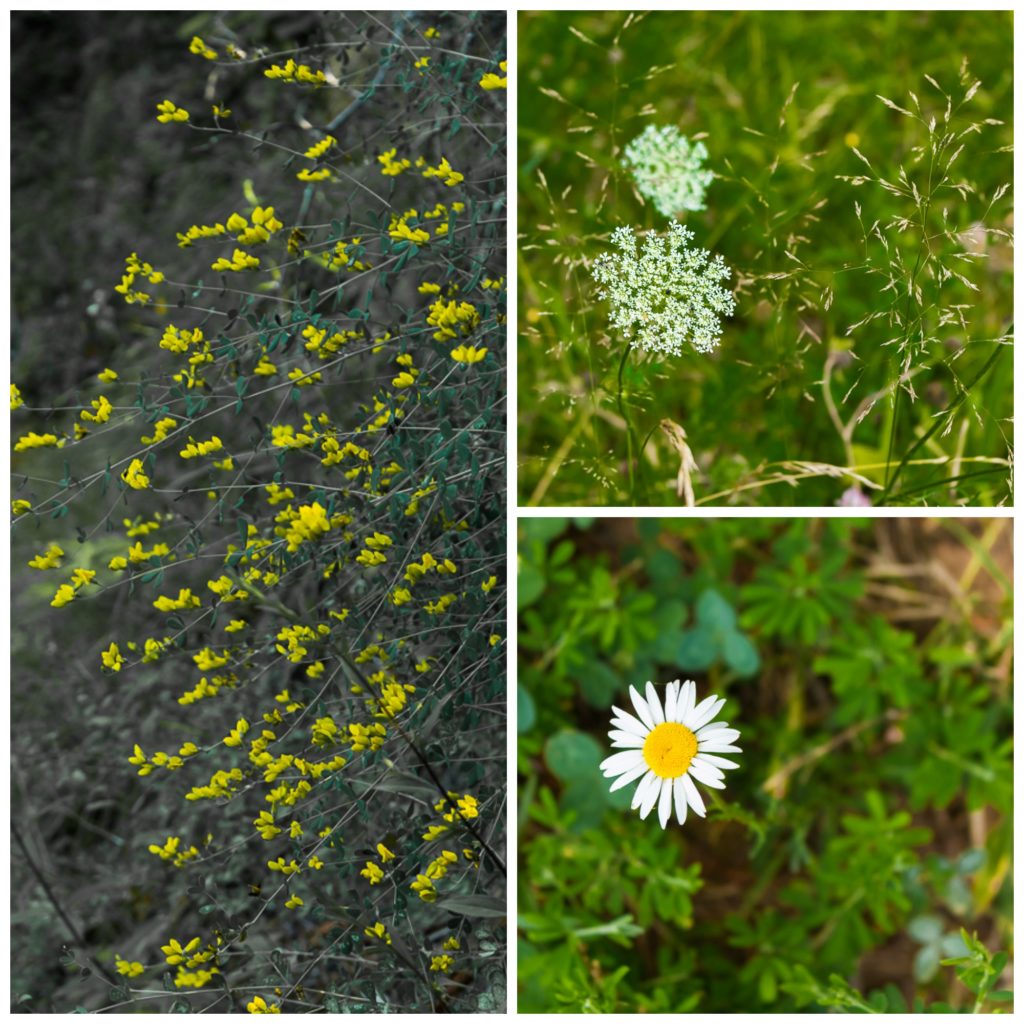
A “Cove” in Smoky Mountain vernacular is a flat valley between mountains or ridges. This cove is an 11-mile, one-way loop road. The loop has almost seven hiking trails along its way. There are 17 scenic spots along the loop – John Oliver Place, Churches, Lanes, Cable Mill Historic Area, Tipton place and Dan Lawson Place. The loop also holds a historic background and if you would like to explore the same, grab the starter kit at the visitor center. The cove is the home of narrow-leaved sunflower and you could see these yellow beauties along the entire stretch of the loop. (Don’t ask me how I managed to click one. Jumped across the fence to capture atleas one through my lens. Typical Me) The loop is open for the auto tour from morning 10:00 AM. If you are an ardent lover of nature, walk along the beautiful lanes of the loop in the dawn. You could see horses grazing around the loop. Enjoy a horse ride near the visitor center.
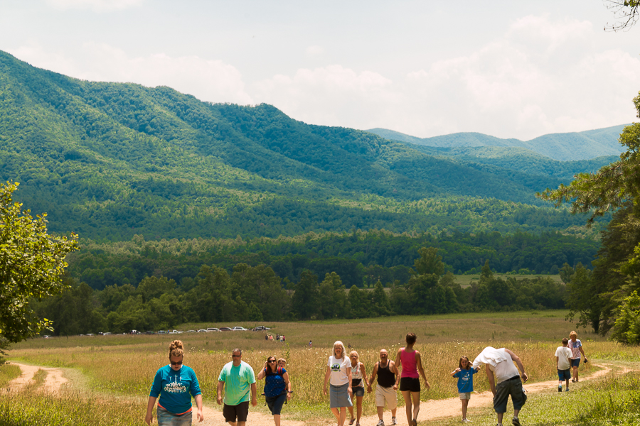

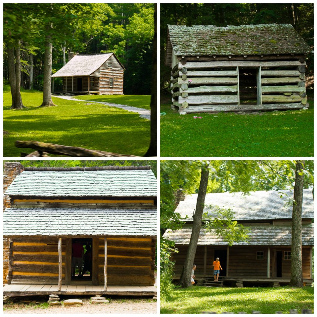
P: S. If you love to explore the history, then Cade’s Cove tour is highly suggested. The loop is crowded all the times and the parking is limited. To visit some historic spots, one has to walk half a mile, sometimes, a mile from the road. If you would like to cover most of the falls or places in the park and not interested in the history, then I would highly recommend leaving this trail back. Else, you can always give a try and if you want to return, take diversion either at Sparks Lane or at Hyatt’s Lane.
New Found Gap Road
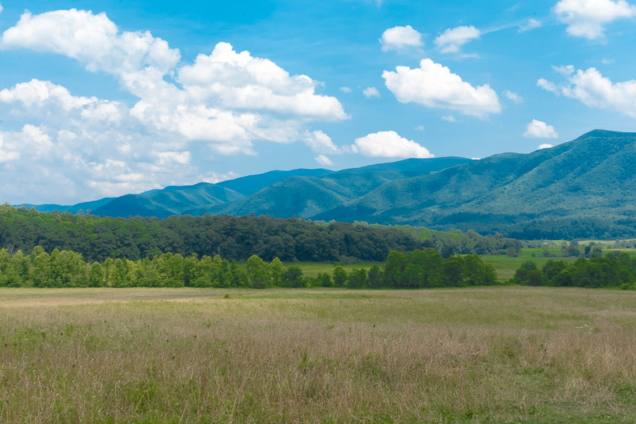
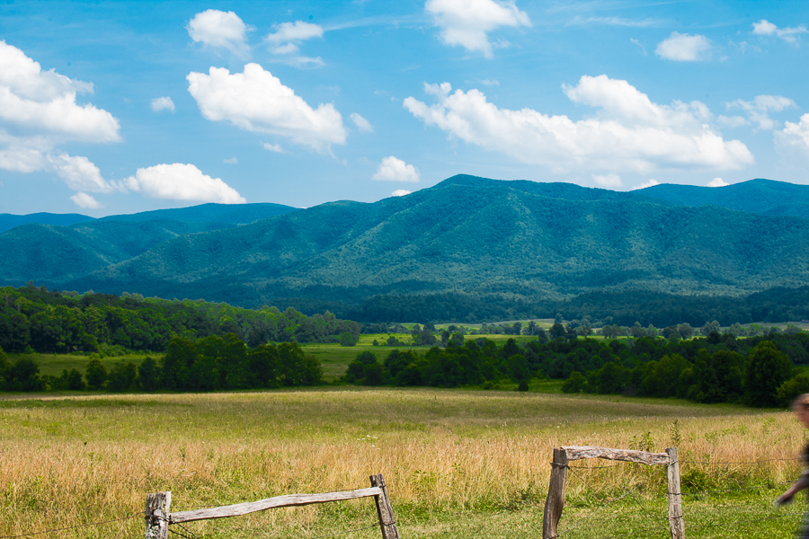
New Found Gap Road is the only road across the Smoky Mountains National park, which starts at Gatlinburg, Tennessee and end 31 miles later near Cherokee, North Carolina. The road has two visitor center on its way – Sugarlands and Ocanaluftee. Whether you start your journey in NC or in TN, about half of your drive will be uphill and the remaining half will be downhill, with the Newfound Gap as the highest middle point. There are nature trails along the road (- Sugarlands Nature Trail, Cove Hardwood Nature Trail), Quiet walkways, Campbell overlooks, pullouts to view chimney top and picnic areas. Quiet walkways don’t have any information on the brochure. Watch out for the boards on the sides of the road with the signs for quiet walkways. The paths are not paved and are not looped. Hence, one requires good walking shoes and have to stop at a point to return in the same way. New Found Gap road has many flower walks. Just pull off at a parking area and wander up the paths between boulders. One could see violets, Stonecrop, and many wildflowers.
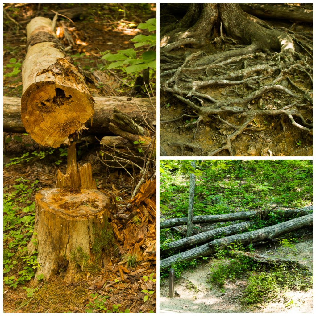
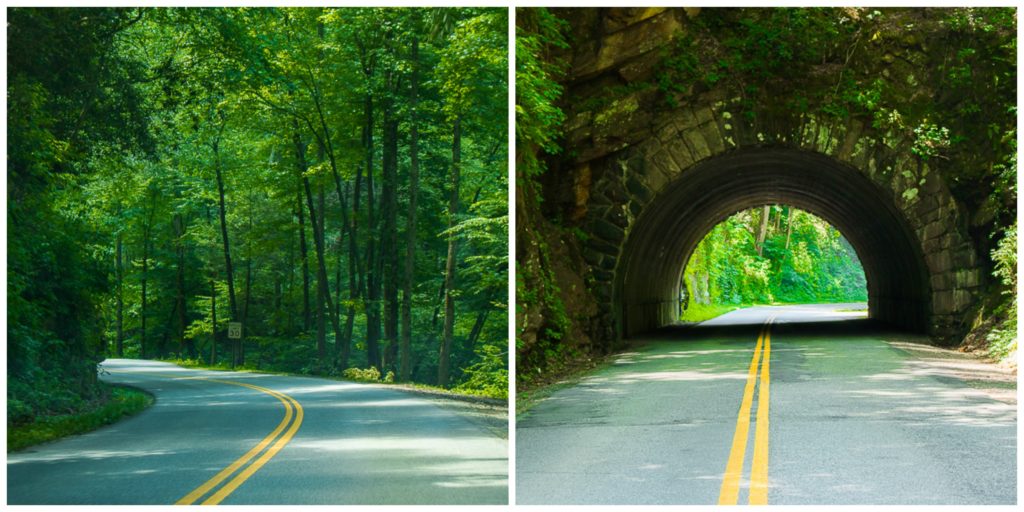
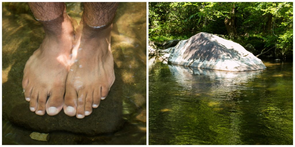
The entire road runs beside the river and you could see many places to pull over and have a closer look. You could see many people swimming in the shallow water, barbecuing, kids playing in the water, people fishing in the water or just reading a book. We parked our car in a parking area and went into the waters. I would say that’s the best time we had on that day – Watched the clean water running over the stones, collected colored stones, watched tadpoles in the water, clicked pictures over the cliff and had our homemade lunch near the banks – it reminded me of my childhood days where we used to play in the small streams. I would definitely visit Tennessee often and next time, I would simply sit on a cliff, read a book, gaze around the mountains and spend an entire day in the water. That would be my kind of Vacation!
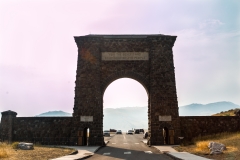
New Found gap lies on the Tennessee/North Carolina state line. One can look down the Ocanaluftee valley from the viewpoint here and walk down to the Rockefeller Memorial.

Clingman’s Dome
Clingman’s dome is the highest point in the Great Smoky Mountains, which 6643 feet tall. From the New Found Gap road, we took the seven-mile long road to this ridge top. There is an observation tower on the dome, which offers a panoramic view of 360 degrees of the Great Smoky Mountains. One needs to walk a one-half mile trail to reach the tower at the top. The tower is the paved road, but steep. We reached the Clingmans Dome by evening. Though it was a long day, we did not want to skip the excellent view of the mountains from the highest point. The entire trail was steep and uphill. You have benches to rest on the sides of the road. As you walk along the trail, ensure you are on the trail as there are many chances to lose your track as you look at the beautiful view of the Smokies.
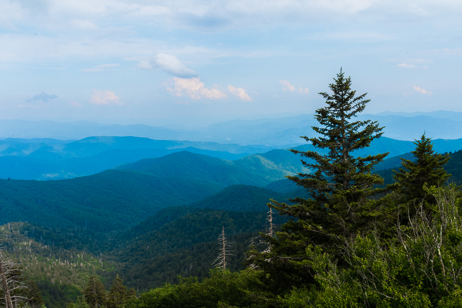
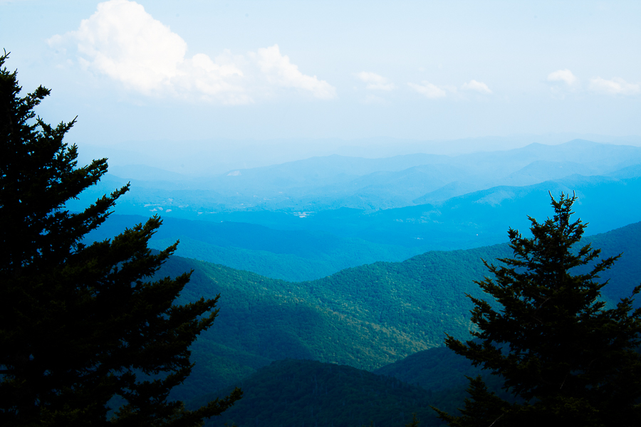
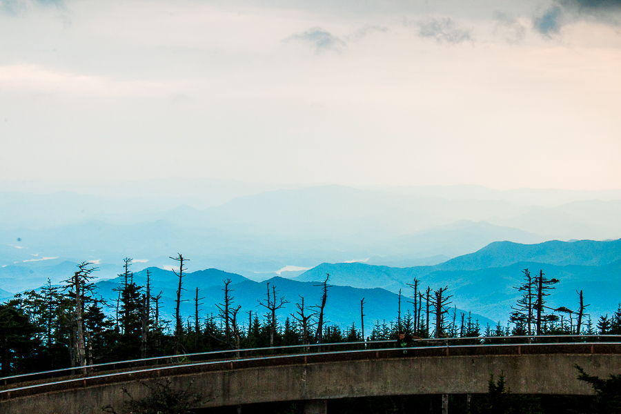
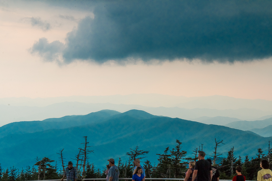 Though the steep trail was exhausting, we forgot our gasps for air once we have seen the 360-degree view of the giant mountain chain running across. You could see many killed Fraser firs on the way.
By the time we reached the Dome, the clouds started darkening and it poured down heavily all of sudden. When we thought of staying back in the dome and indulge ourselves in nature, the rain stopped. Hence, we headed back to the parking lot. By halfway, it rained cats and dogs. There were no shelter places around. I was worried about my black beauty – Canon EOS rather me. We found our shelter under a tree, but that didn’t help much. We started running downhill to protect it. Imagine two crazy ones running down the hill in a heavy downpour with sandals in one hand and camera tucked inside the shirt. It’s been ages I got wet in the rain, ran and played in the rain. Though initially, I was cursing it, later I loved getting soaked in the fresh water droplets and running like crazy kids laughing and giggling around.
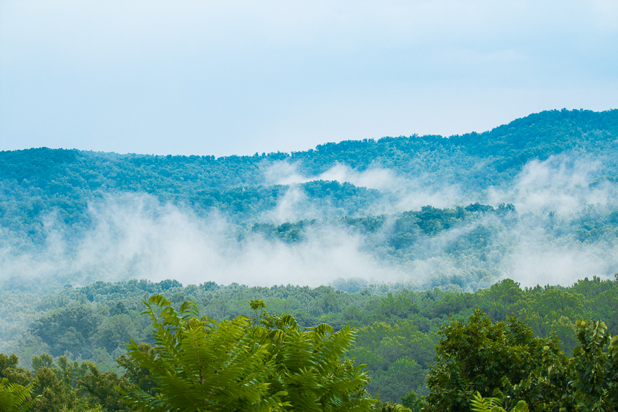
Once I reached the car, the first thing I did was to check my most adorable black beauty. Only then, I could breathe and relax.
P: S. There are only vault toilets available in the Dome. Please carry an umbrella with you. (It never rains but it pours) You can never predict the weather in such an altitude. Though it is a concrete route, it is hilly. But I would highly urge walking down the trail, as the view from the dome is worth to watch. If you are unable to do, you could always find photographic points near to the visitor center.
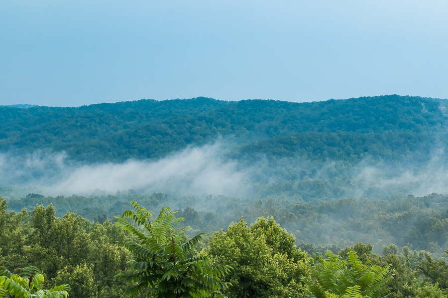
Did anyone like to know about our two and a half day plan? I can split according to each day and give a table in my next post about Pigeon Forge.
P.S: The facts are collected from various pamphlets collected at the visitor center.


