Grand Canyon – A Nature Wonder
Live for the moments that take your breath away!
After a relaxing vacation at Tennessee last year (read the travel story here), I never intended to do a short one like a typical sightseeing spree. Instead, I want to admire and pacify my soul in the beauty of nature. Hence, we decided to visit Grand Canyon and Las Vegas during Memorial Day weekend. Wish, I would have devoted the entire vacation for Grand Canyon – a nature wonder!
I would cherish my two days stay at Grand Canyon and call it as a lifetime experience. One has to experience to appreciate its beauty as no adjectives would define this magnificent landscape.
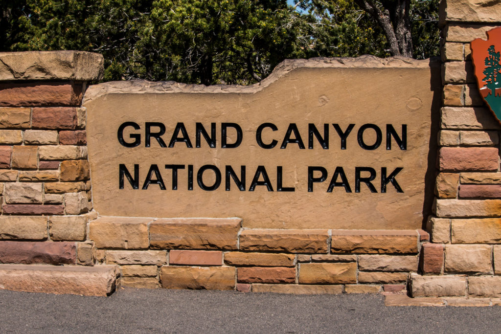
Grand Canyon – A Nature Wonder
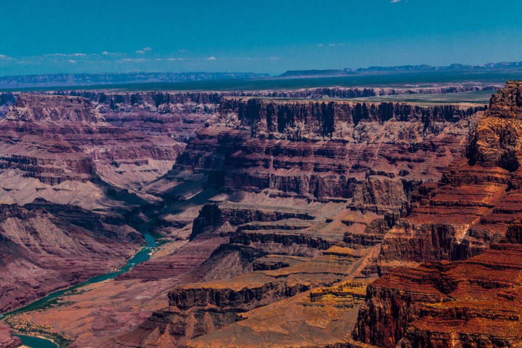
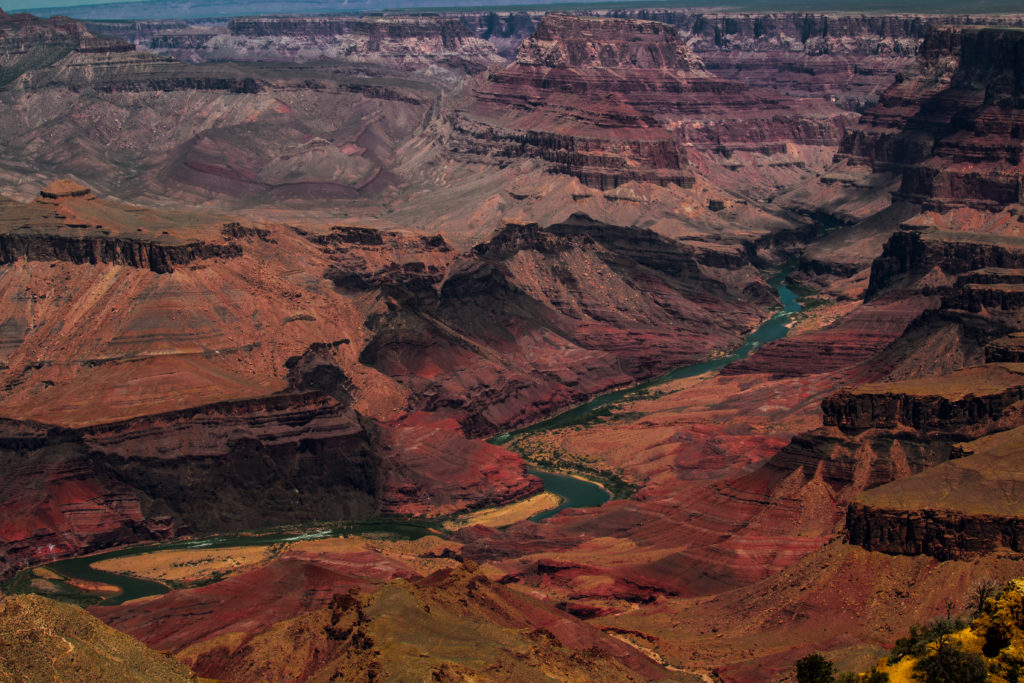
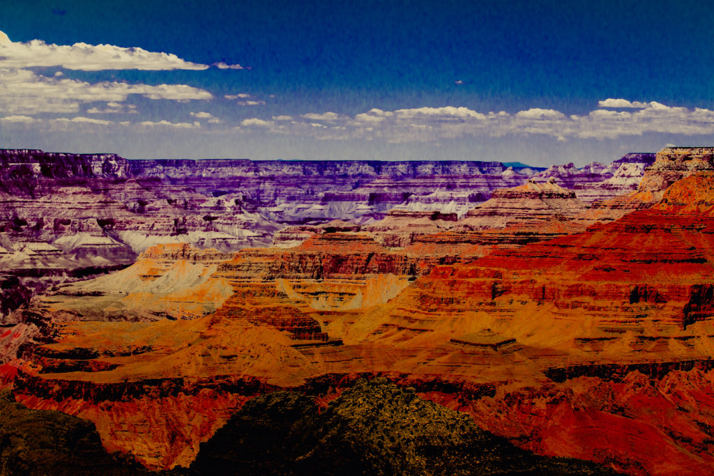
Grand Canyon – steep-sided canyon carved by the Colorado River is in the state of Arizona, North America. This monumental landscape stands as a testimony to the power of erosion. The canyon is decorated with the unique combinations of geologic color and erosional forms that run 277 river miles (446km) long, up to 18 miles (29km) wide, and a mile (1.6km) deep. No wonder why is it called as Grand Canyon? And it is the only natural wonder which can be viewed from a satellite.
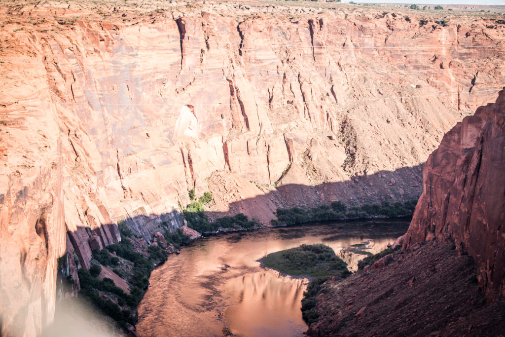
The Colorado River carves through the depths of the canyon and is one of the breathtaking views of the canyon. Having said its vastness, it is surreal to visit the entire national park in a day unless you are a super human who can hop across the canyon in such deadly hot weather.
The Grand Canyon National Park overwhelms you with its immense size and can be experienced at four different destinations commonly called as Rims – South Rim, Grand Canyon West, Grand Canyon East, and the North Rim.
After extensive googling and reading various blogs, we decided to visit Grand Canyon East and the South Rim.
We flew from Burgh to Vegas on Saturday evening and reached our friend – Saravanan’s place around midnight after dinner at Vegas. We had planned to drive from Vegas to Grand Canyon through the east rim and stay overnight at Flagstaff.
Day 1: Vegas to FlagStaff through Grand Canyon East
The park doesn’t define it as East but the local refer the area so where a number of popular sites can be visited. Grand Canyon East is located in an area that is along the Colorado River to the north and the east of the South Rim.
We started around 9:30 in the morning from Vegas and we drew towards Canyon X which is around 4.5 hours drive from Vegas.
When we saw the tours for the Upper and lower antelope canyon were booked for the whole year, we were shocked as we desperately wanted to visit antelopes. But then on further researching, we heard about Canyon X and Cardiac Canyon. While Cardiac Canyon involves hiking down and up a 90-meter sand dune (less than 100 people have visited this cardiac canyon so far), Canyon X can be visited by everyone without any previous reservations. Antelope Canyon X is named after the X’s carved into the Navajo Sandstone created by millions of years of rainfall and wind.
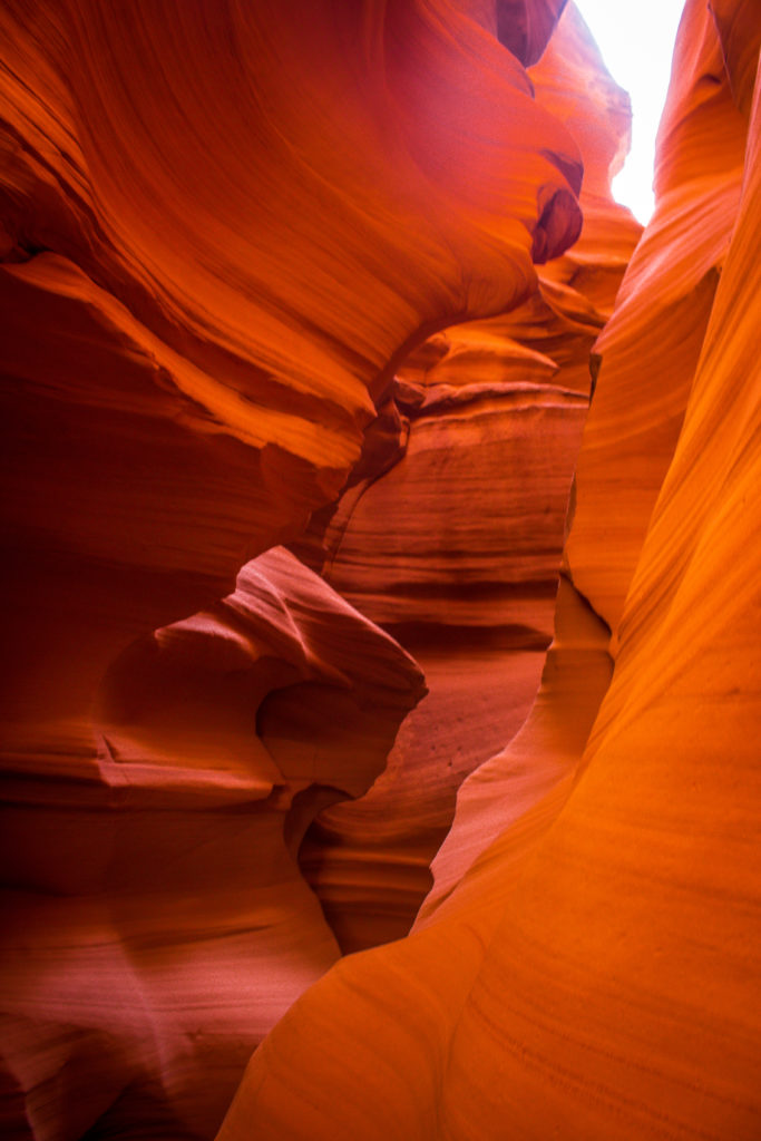
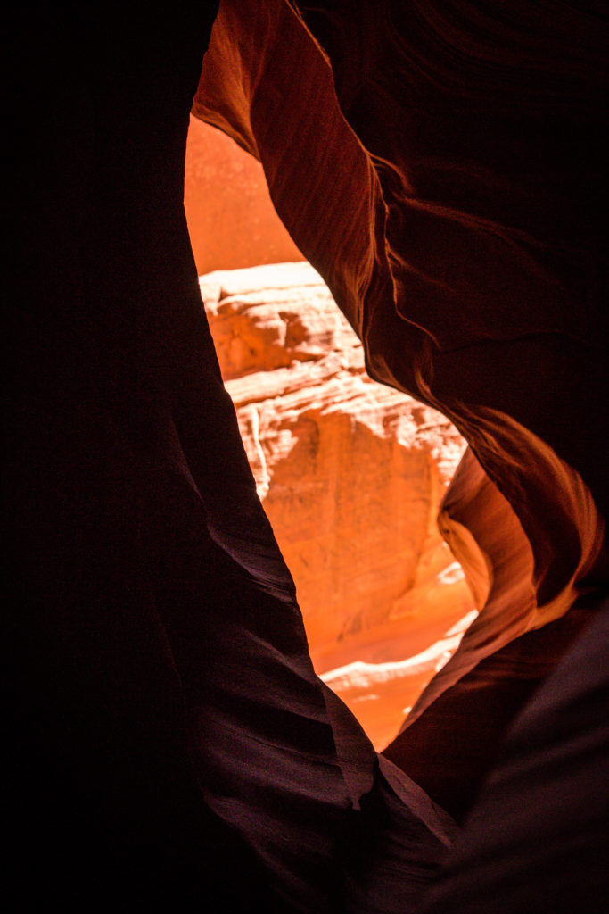
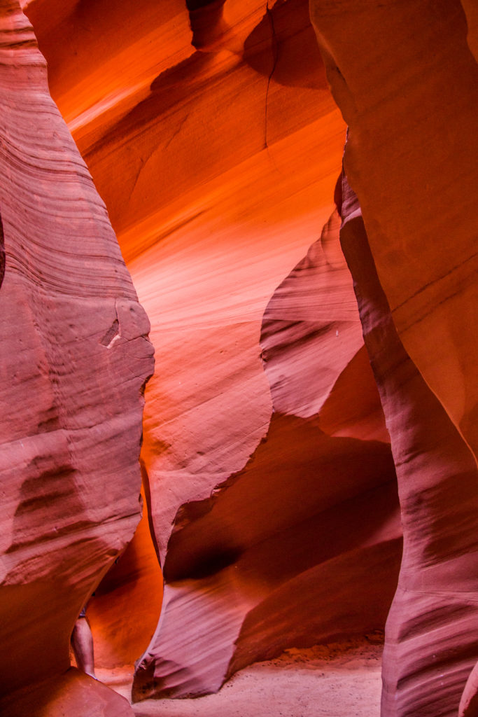
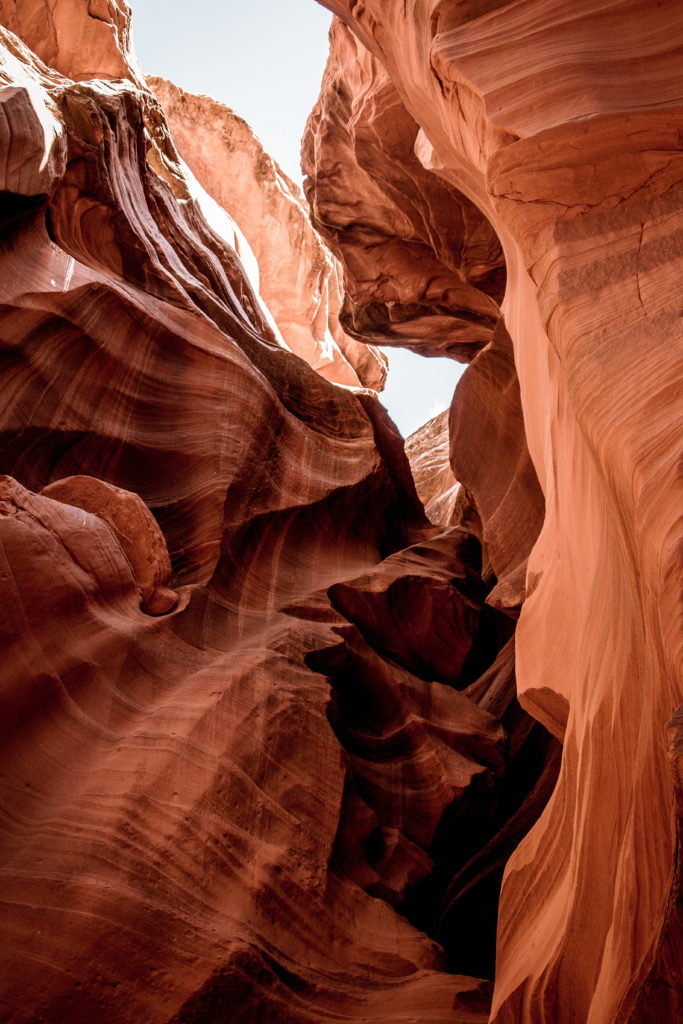
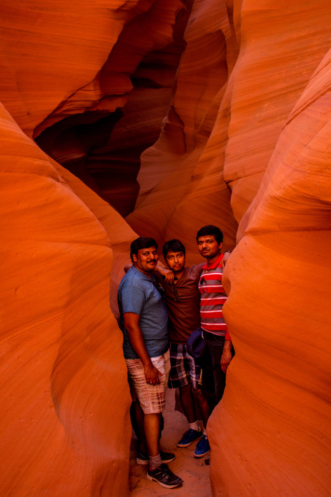
Canyon X is located within the same Antelope Canyon as the iconic Upper Antelope Canyon and Lower Antelope Canyon, approximately 10 miles southeast of Page, Arizona.
Antelope: Canyon X
Operated by: Taadidiin Tours
Operating Hours: 9 am to 3 pm (MST)
Cost: $38
Watch out for a small tent and a handwritten board which says Grand X Canyon. On receiving the ticket, one will be transported to the antelope through their vehicle, followed by a short trail. The canyon has two slots and would take approximately an hour to visit both the slots.
Upper Antelope and Lower Antelope Canyons have guided tours and require prior reservation. Please plan to block them at the start of the year as they are booked fastly. If not, visit Canyon X and it is worth the visit.
There are numerous breathtaking view points on the way to Antelope Canyons. As we wanted to visit the Canyon X before their closing time and view the sunset at Horseshoe Bend, we drove straight towards the antelope to visit the viewpoints later. And we visited them later.
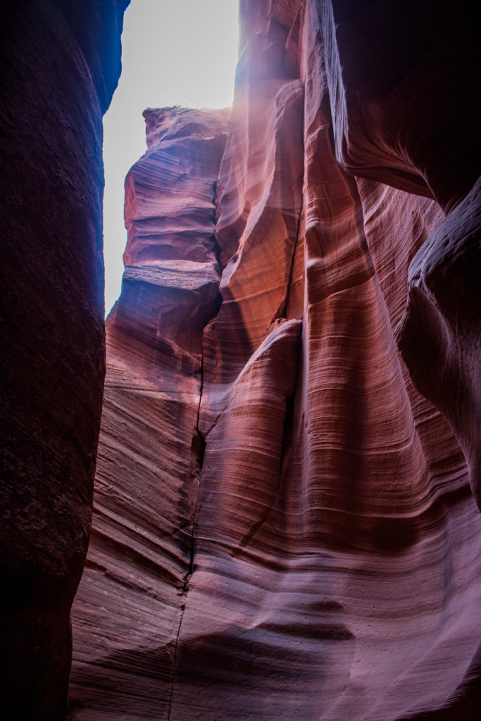
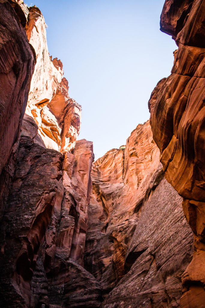
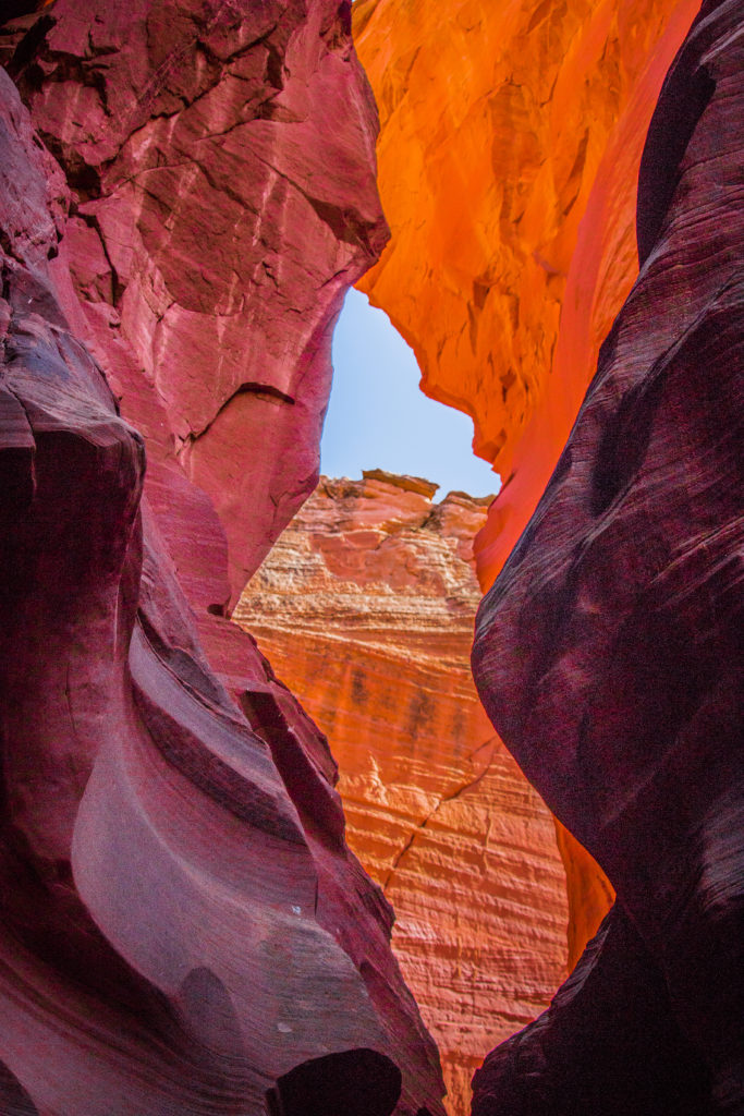
From Canyon X, we headed back in the direction to visit Lone Rock beach, Wahweap Marina and Lake Powell.
Glen Canyon Recreational Area
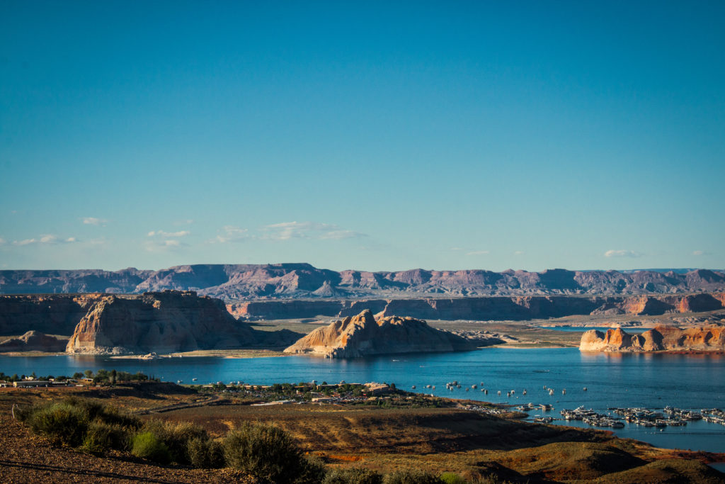
The Glen Canyon Recreational Area is located on the Colorado Plateau and encompasses more than 1.25 million acres in Northern Arizona and South Eastern Utah. The Glen Canyon Recreational area is the home of Lake Powell.
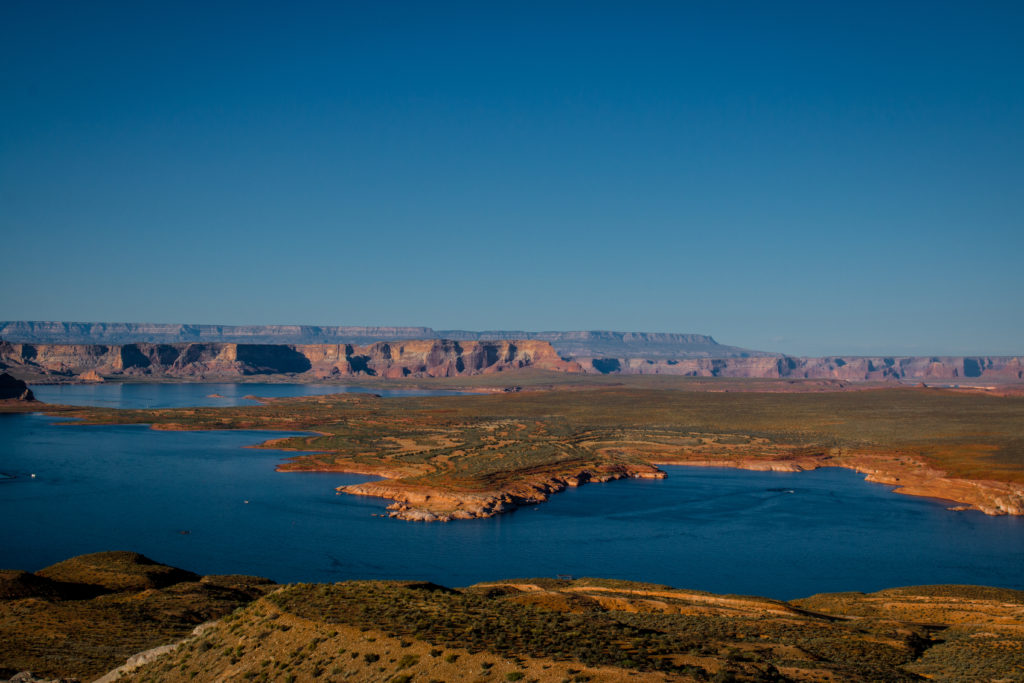
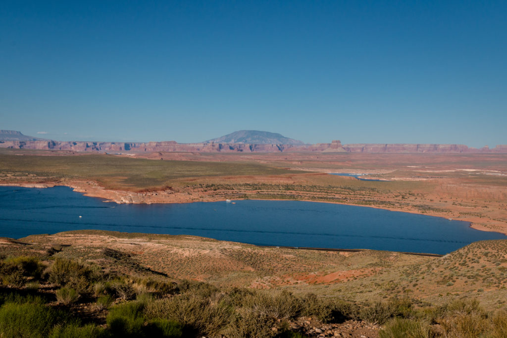
Lake Powell is set dramatically against a backdrop of eroded red rock canyons and mesas, is the largest man-made lake in the North America and is considered as one of the based water-based destination areas in the world.
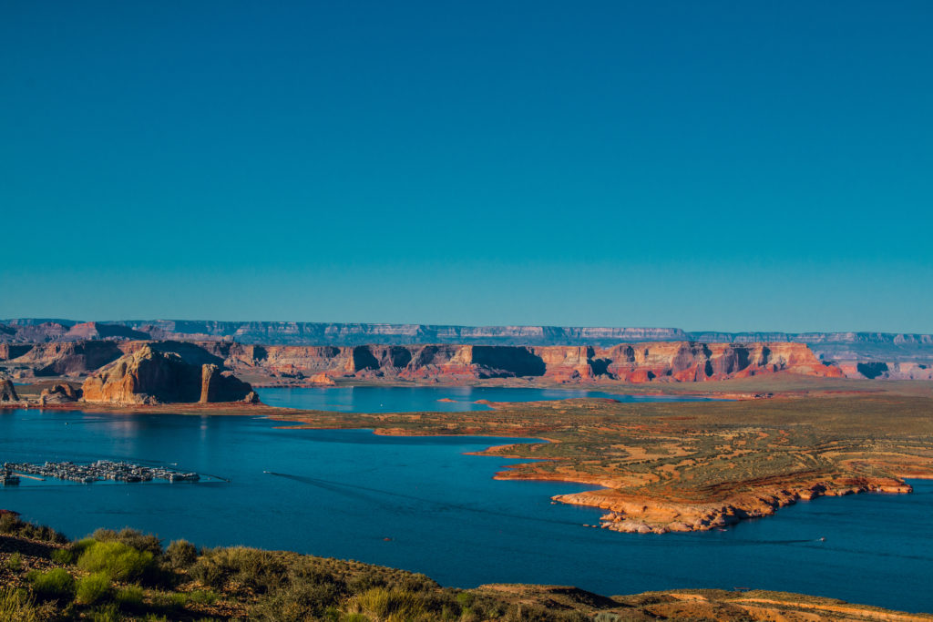
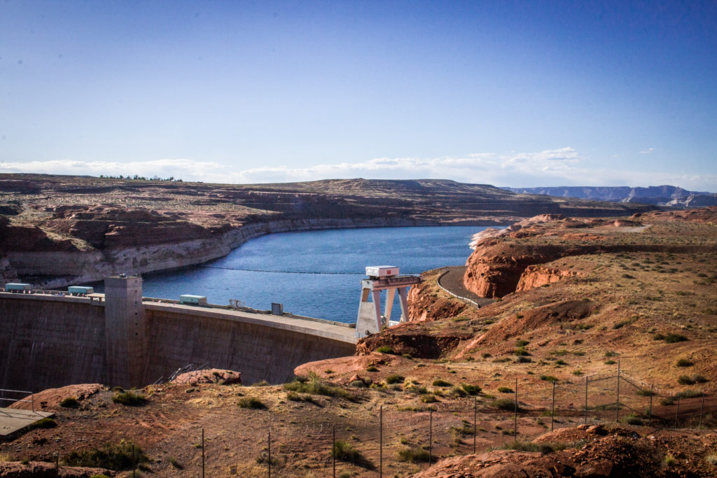
We viewed Lake Powell from the scenic point Wah weap. There is a lake shore drive available at the cost of $25 along the Lake Powell and leads to their restaurant – Wahweap Marina. There are numerous activities available in the marina – one can rent boats and ride across the river, kayak or simply enjoy food at the lakeside restaurant.
The wah weap scenic point is closed from sunset to sunrise. Ensure to stop for a few minutes at the scenic point to view the contrast between the deep clear blue waters and the surrounding landscape – red sandstone rocks.
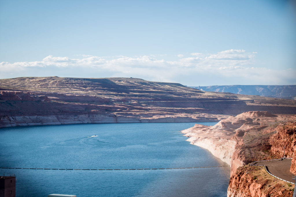
We, then visited, Glen Canyon Dam, a second highest concrete-arch dam in the US, next to Hoover Dam, was constructed to harness the power of the Colorado River in order to provide water and power needs for the millions of people in the West. We viewed Glen Canyon Dam from the overlooking bridge near to the Carl Hayden Visitor Center.
Lone Rock Beach:
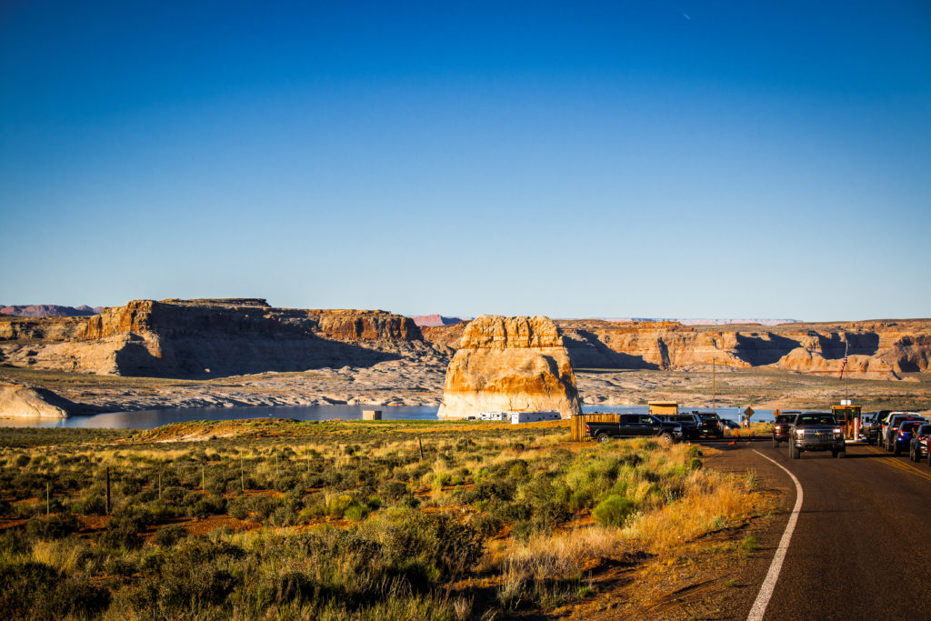
Lone Rock is a large isolated red rock formation located on the sides on the Wahweap Bay. There is a primitive campground around the beach where one can park their own vehicles and camp overnight.
HorseShoe Bend:
We then drove to Horseshoe bend from Lone Rock which is approximately 20 minutes’ drive from antelope. This is a hidden secret in the Grand Canyon East. It is located approximately 140 miles from both the South Rim and the North Rim of the Grand Canyon – but only 5 miles from the beginning of Grand Canyon National Park.
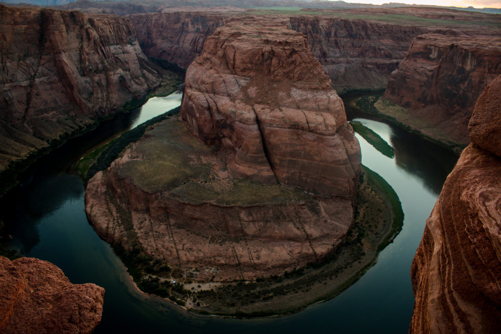
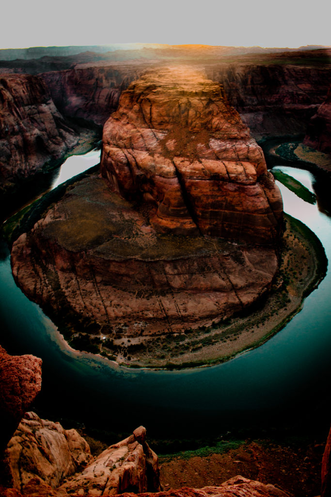
“In Horseshoe, The Colorado River makes a wide sweep around a sandstone escarpment. Long ago, as the river meandered southward toward the sea, it always chose the steepest downward slope. This downward journey did not always occur in a straight line, and sometimes the river made wide circles and meanders. As the Colorado Plateau uplifted about 5 million years ago, the rivers that meandered across the ancient landscape were trapped in their beds. The rivers cut through the rock, deep and fast, seeking a new natural level. Here at Horseshoe Bend, the Colorado River did just that, and as the river cut down through the layers of sandstone, it created a 270° horseshoe-shaped bend in the canyon.”
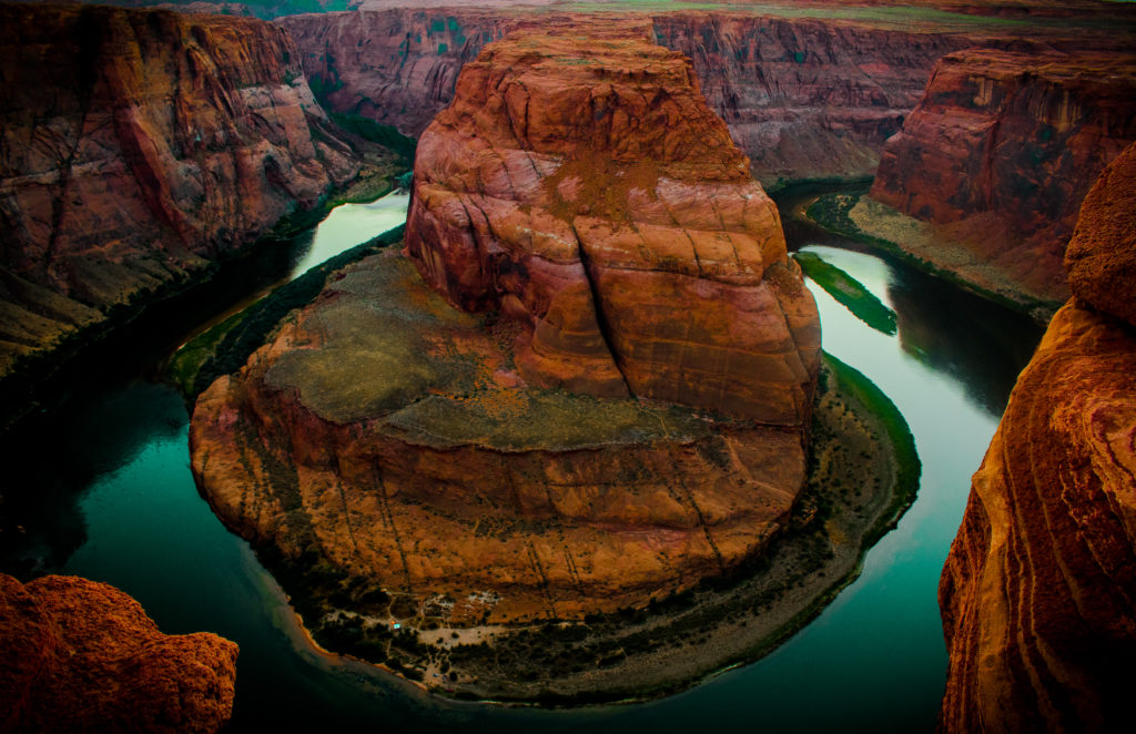
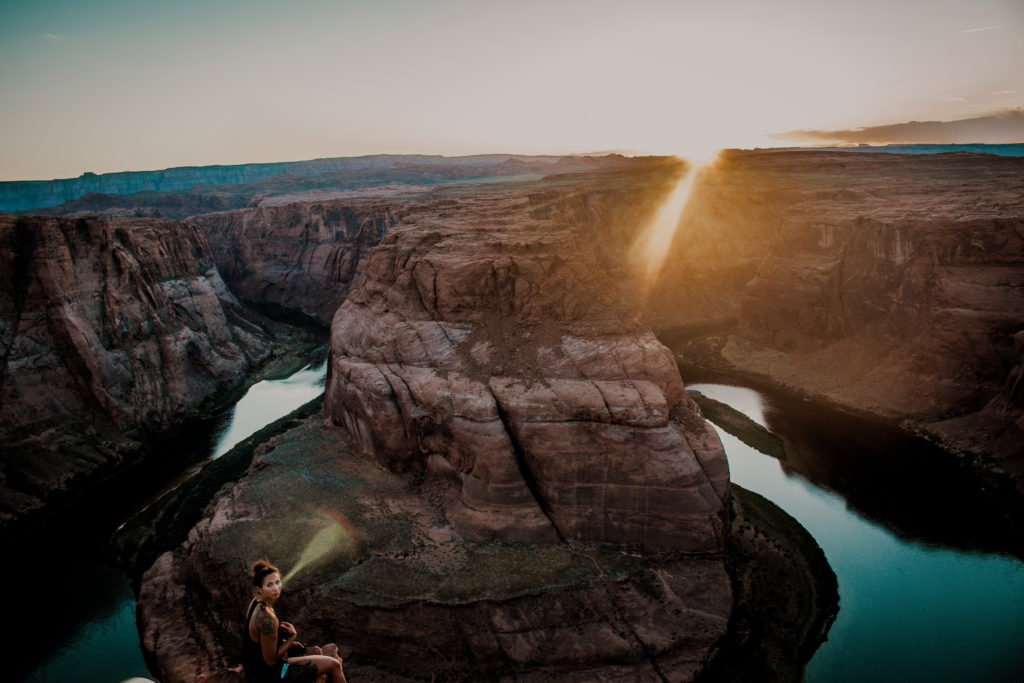
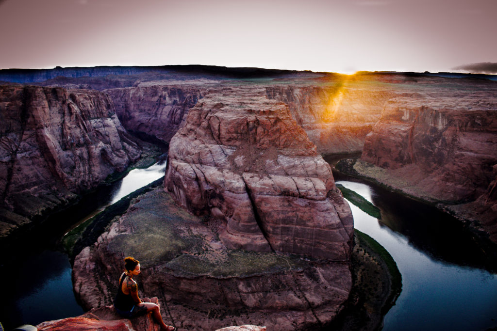
A short ¾ mile hike leads to this tremendous curve in the Colorado River. We visited Horseshoe bend around sunset, witnessed the color changes in the rock, shadows moving in and out of the canyons and the river shining in the different shades of blue and green. One can view the vast Navajo Station on the left. The path is little bumpier and alternates between whitish Marvel and sand. The uphill trail might be quite challenging but the view is worth the miles walked.
The sunset in the Horseshoe Bend was a spectacular sight. Wish I should have brought my tripod and wide angle lenses.
We drove to Flagstaff and stayed in a hotel overnight. We planned to visit Grand Canyon the next day from Flagstaff through East rim and view South Rim.
Day 2: The Grand Canyon National Park
We started the next day at 9 in the morning from Flagstaff after scrumptious breakfast in the hotel where we stayed. We drove via US-89 and Desert View Drive for about 89 miles from Flagstaff to the National Park. The drive was through the Coconino Plateau, Navajo Nation reservation and finally ends in the national park after crossing Kaibab National Forest.
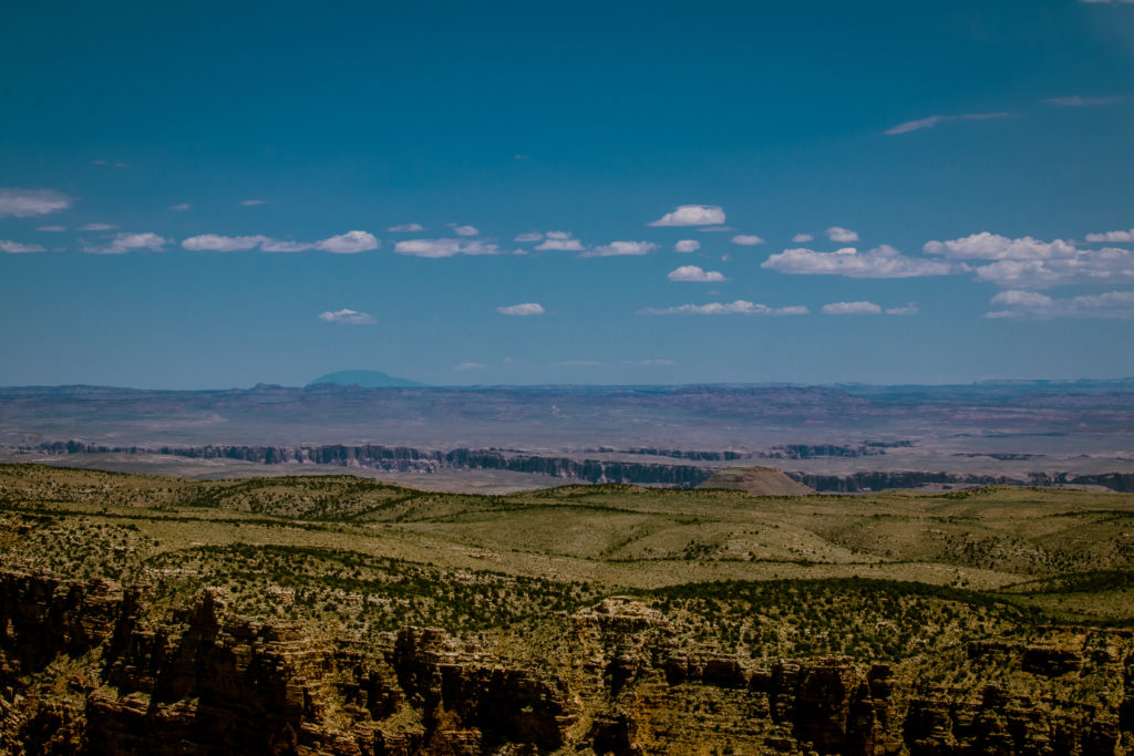
The entire drive was through the deserts and we were surprised to see the vast deserts and sand spread across a vast area. The scenic drive is spellbound and one can witness snow traces on top of the mountains as if the pinnacle has been painted white by nature. The trees along the road side are known as lone trees and as the name says, the trees are tall and stand apart from each other. The road is at an elevation of 7000 and ensures not to miss the view of Gray Mountains along the drive.
One can find the Wupataki National Monument on the way just before the Navajo reserved area. We stopped by the Little Colorado River Gorge overlook. Little Colorado River is one of the largest tributaries of the Grand Canyon enclosed for 45 miles in the painted desert in the Navajo Indian Reservation and forms a dramatic deep narrow gorge. There is a tribal shop area selling the ornaments and pots handcrafted by local tribal.
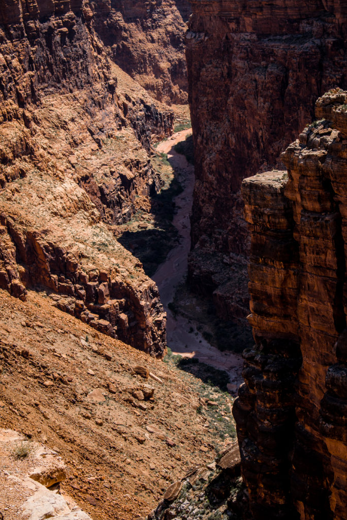
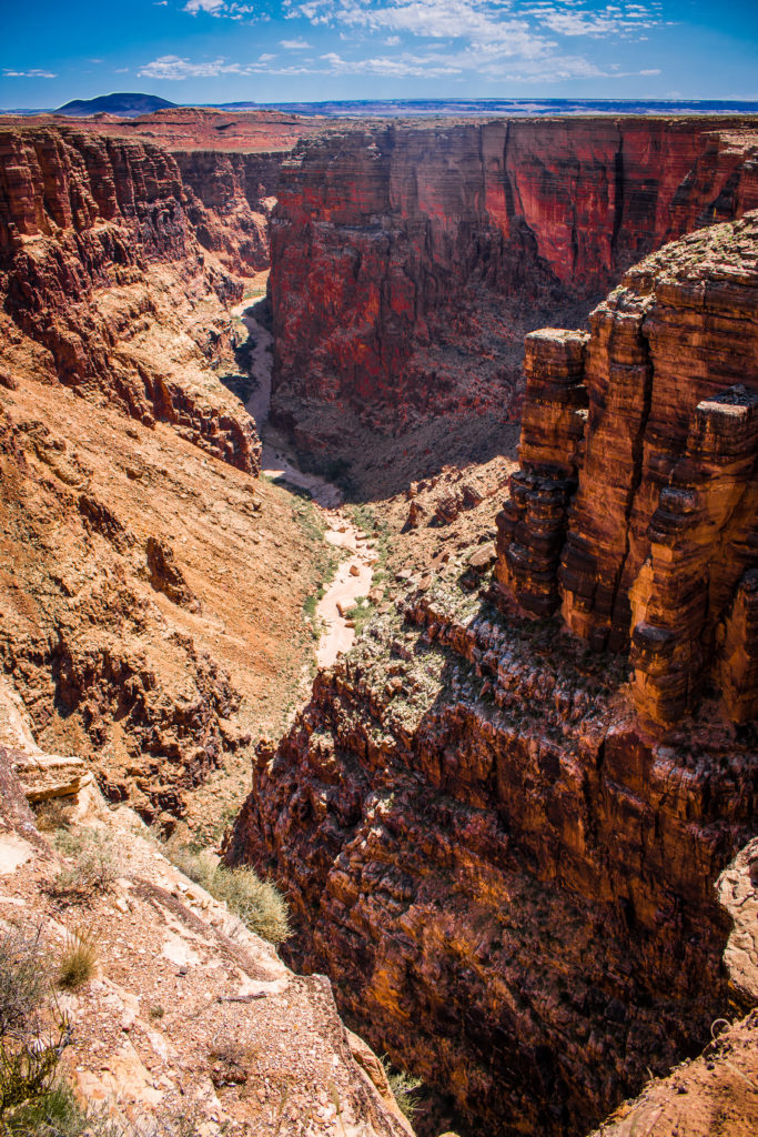
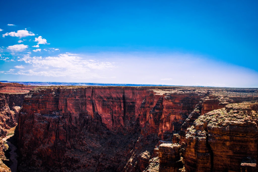
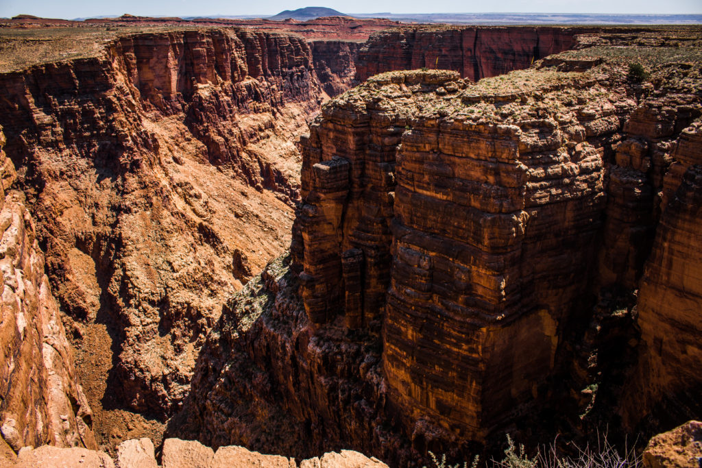
P:S: Restrooms are available in the Little Colorado River Gorge overlook
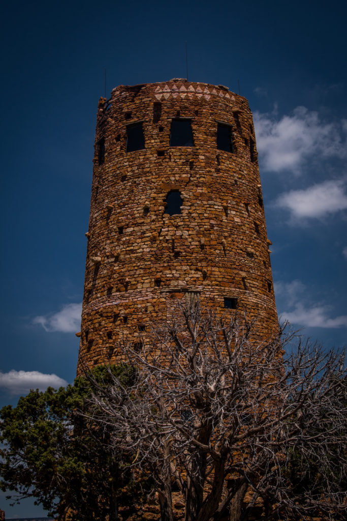
We then headed to the Grand Canyon – South Rim through Desert View Drive. Desert View Drive is a scenic route to the east of Grand Canyon Village on the South Rim which follows the rim for 25 miles (40 km) out to the Desert View Watchtower and East Entrance. The desert view scenic includes the historic Watchtower and Tusayan Museum.
The view of the Grand Canyon from the watch tower with the Little Colorado River carving through the depths is a spectacular and breathtaking view one has to watch without fail from the top of the tower. We then headed to the Visitor Center in the South Rim and on the way, we stopped at various points to view the magnificent landscape.
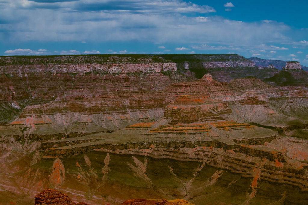
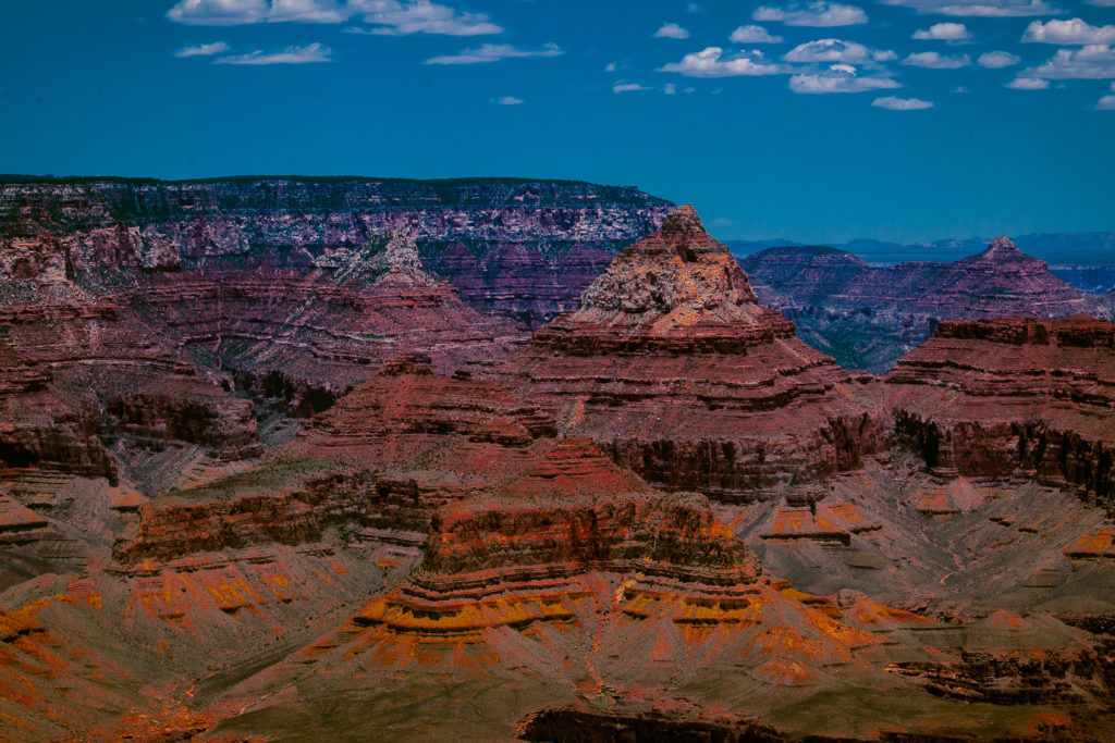
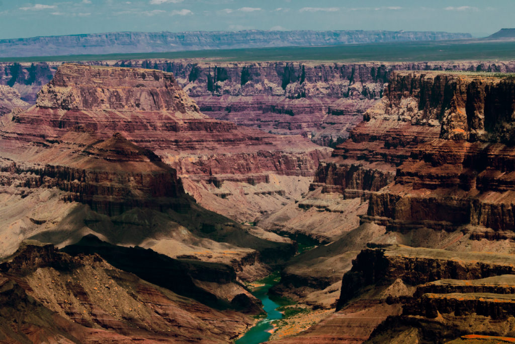
The South Rim is called as true Grand Canyon by many visitors and it is rightly called as it will mesmerize you with expansive views and close to dozen viewpoints with their unique own attributes.
The best-known viewpoints are
- Mathur ViewPoint – Walkable from the Visitor Center
- Yaki Point
- Yavapai Point
- Grand Viewpoint
- Moran Point
- Lipan Point
There are several trails available in the rim and buses are available for the trials. I would highly recommend you to go through the park website and decide the trails which suit you. The bus routes are classified according to their colors.
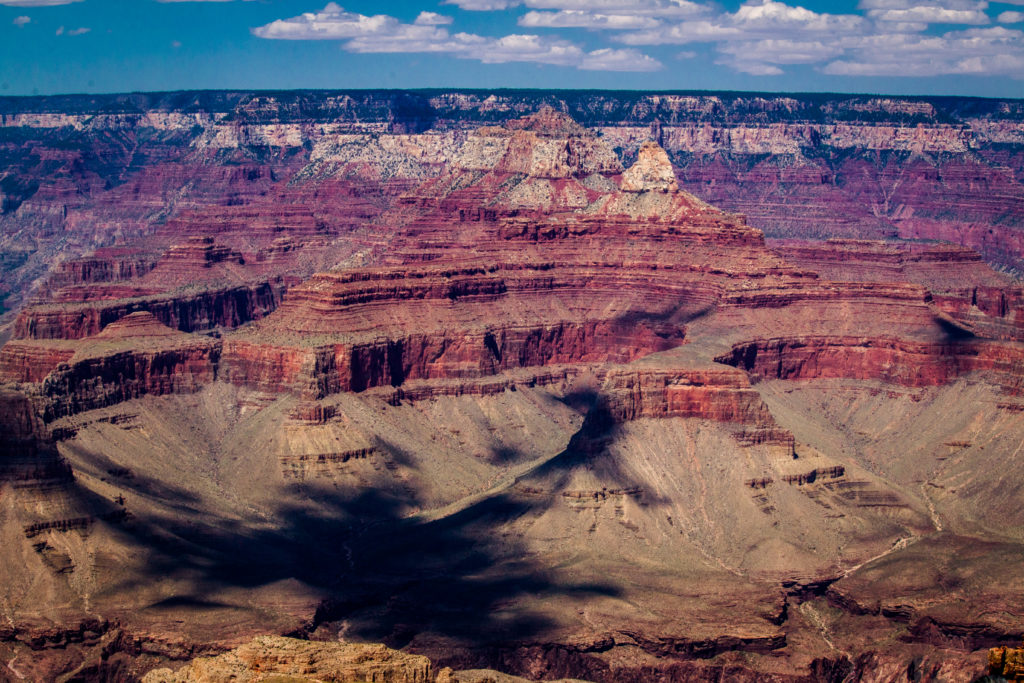
Please visit the visitor center and don’t forget to check the printed papers placed at the center with answers for the frequently asked questions – Activities to do in half a day, activities to do in a day and Viewpoints for sunrise and sunset.
There are numerous trails available in the park and certain trails require prior permission from the park. Again, please go to the park website and plan accordingly.
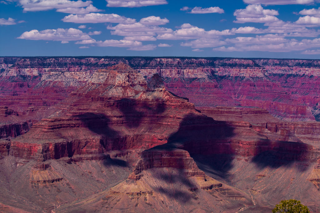
We couldn’t do any trails after a long drive the previous day and we also had jetlag as we traveled from different time zone. We then had our lunch in one of the picnic areas and headed back around late afternoon to Vegas through the south rim via Hoover Dam and Lake Mead. We couldn’t stay for sunset as the entire sky was covered with mist and clouds. But then, we watched the play on shadows created by the clouds.
We didn’t visit North Rim and West Rim of the park. These are the information about the west and north rim gathered from my friend who visited the National Park for about 5 times.
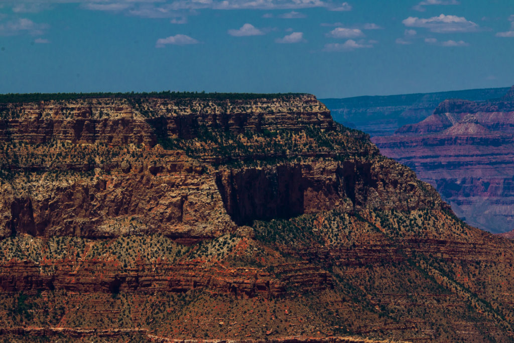
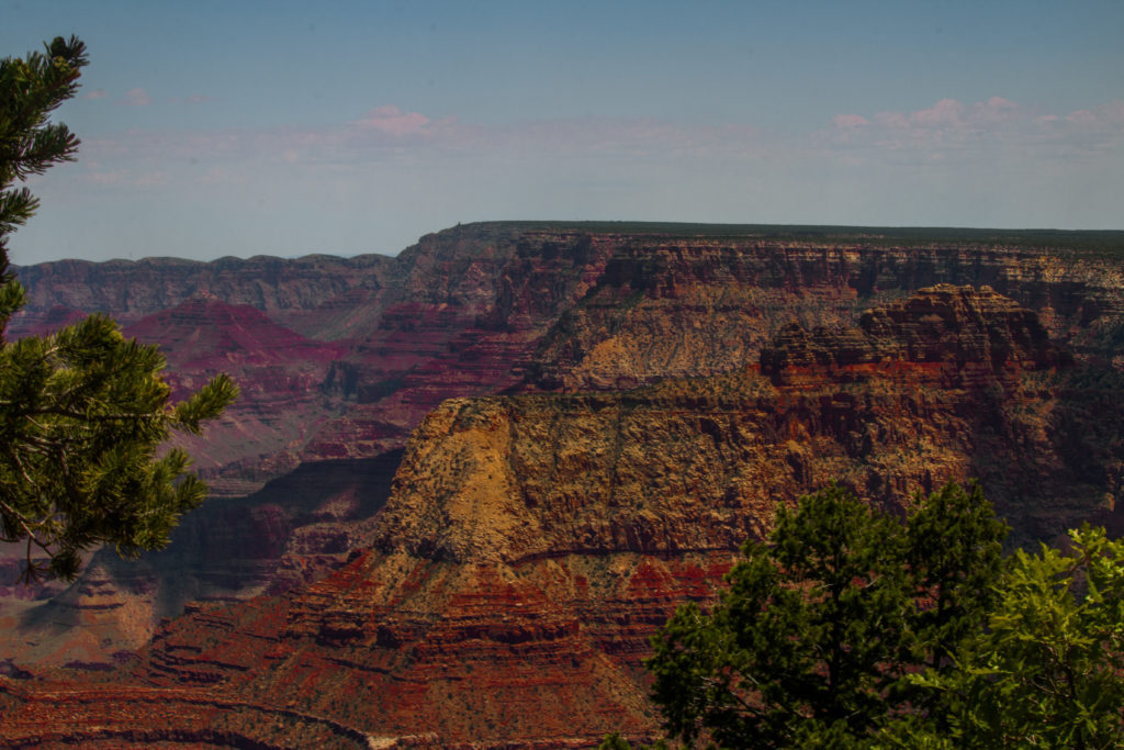
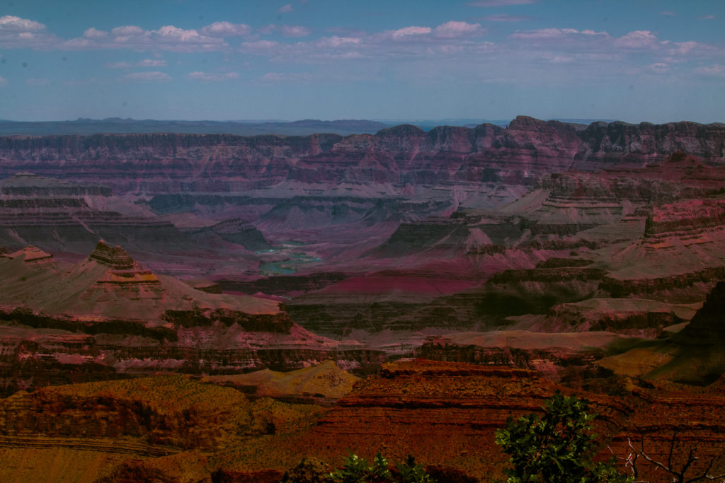
Grand Canyon West Rim:
Grand Canyon West and Grand Canyon Skywalk are the closest and nearest accessible point from Las Vegas. The glass skywalk is called by various names like the glass sky bridge, the glass bridge, the glass balcony and the glass floor is the main attraction on the west side of the Grand Canyon. The other main attraction is the Havasu Canyon which is accessible only by foot, horseback or helicopter contains five famous blue-green waterfalls – Havasu Falls, Navajo Falls, Rock Falls, Money Falls and Beaver Falls. Plan a day for the 12-mile trek into and out of the Grand Canyon by foot or horseback.
Grand Canyon North Rim:
Unlike the south rim which is open throughout the year, North Rim is open only from mid-may to mid-October. The North rim is visited by very few people and is alternative to the south rim if you have visited it already. The north rim is calmer and quieter than south rim. Someday, I wish to visit North rim to enjoy the tranquility and hike to the Havasu Falls.
We reached Vegas around late evening and we decided to cook dinner – Chicken curry. Relishing home cooked delicious country style chicken curry with dosa after a tiring day was a pure bliss.
Things to remember:
- You will travel through two different time zones and hence plan accordingly.
- The temperature will be around 80’s and the air will be dry void of humidity. Hence, ensure to carry water bottles as many as possible. We bought two packs of water from Costco for just two days.
- The park is too vast and hence plan accordingly as you will not be able to cover the entire park in just a day. Ensure to go to the park website to know the park and plan the trails.
- The rest areas are available only at certain points on the drive.
- Food outlets are available near to the visitor centers. But I highly recommend carrying your own food to the park if you need options and for easy convenience. We cooked at our friend’s place and carried home cooked food for our trip.
- Ensure to carry sunscreens and wet wipes.
- Wear good shoes which are comfortable for walking over the rocks.
- Wear a hat.
- Ensure to watch the video about the Grand Canyon in the visitor center and know the history about the nature wonder.
Photographic Needs:
- Bring Wide Lenses for covering the vast landscape.
- Ensure to bring a light-weight tripod if you would love to capture sunset/sunrise.
- I highly recommend neutral filters to click Grand Canyon. Wish I should have carried one.
Day 3: Lake Mead Recreational Area and Hoover Dam
We started around 9 in the morning to visit Hoover Dam and Lake Mead which is approximately an hour drive from Las Vegas.
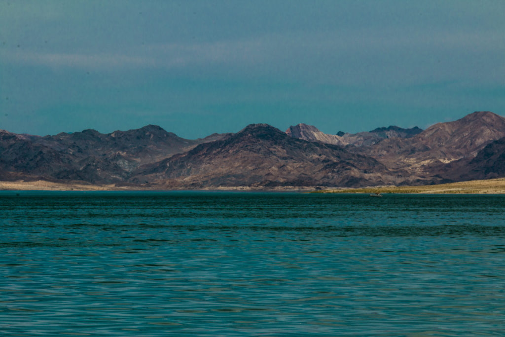
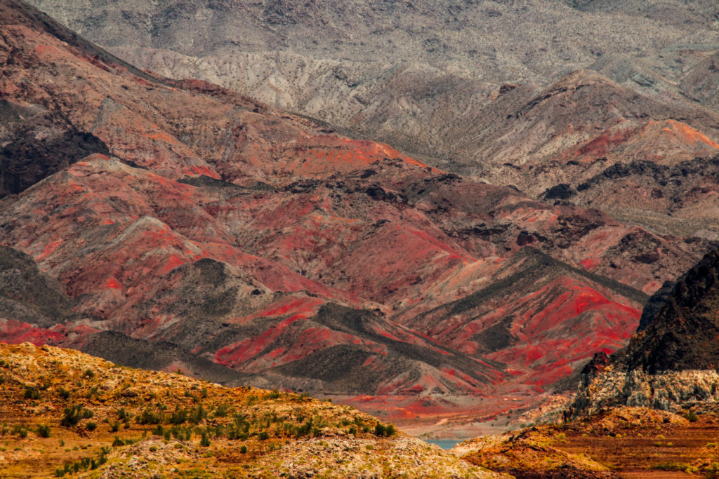
Lake Mead is impressive and drop-dead gorgeous with its striking landscapes and clear blue water. This is the largest reservoir in the United States, measured by the water capacity. The Lake Mead recreational area is quite diverse and has various fun recreational activities. The Lake Mead is the only source of water for the states on Nevada, California, Arizona, and Utah. Lake Mead has several water trails and beaches. We stopped by one of the beaches – Boulder Beach near the visitor center and enjoyed the bluish water, canyons, and red stones. That was refreshing to soak our feet in the cold water after roaming under the hot sun.
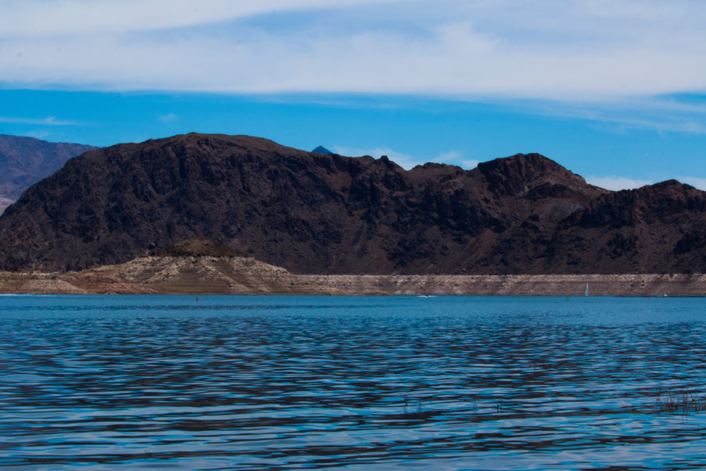
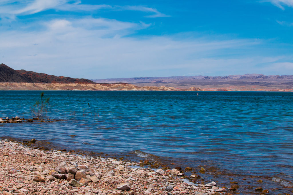
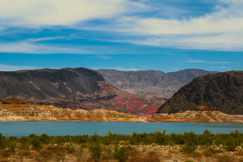
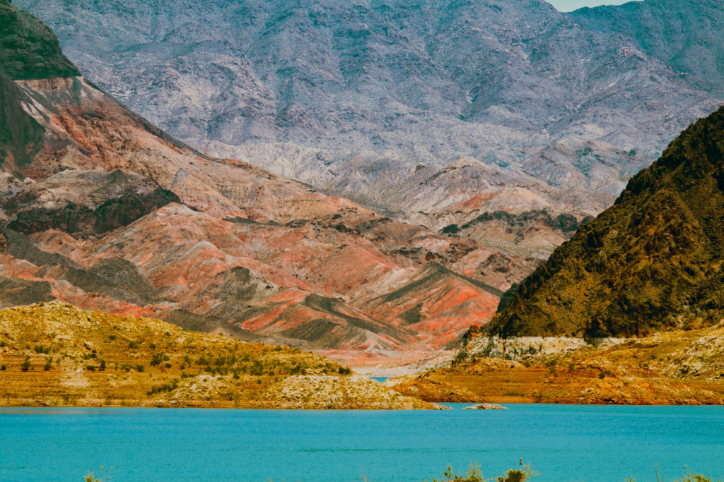
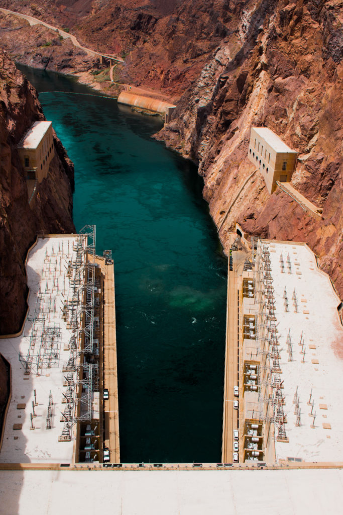
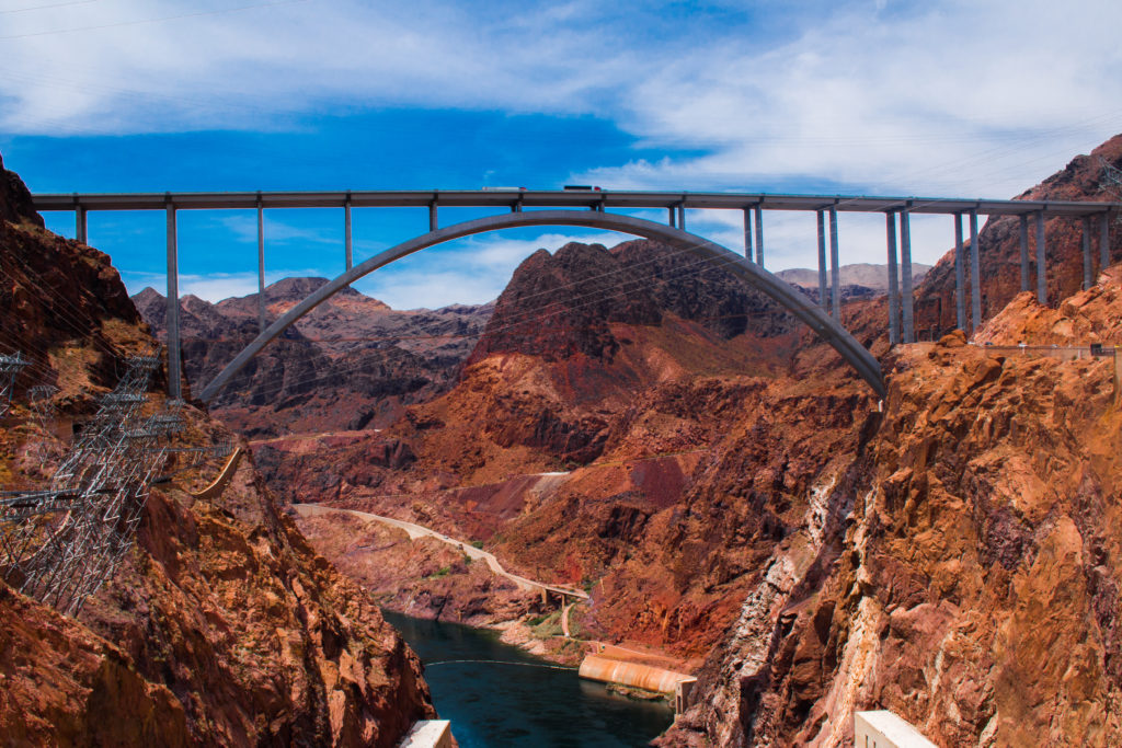
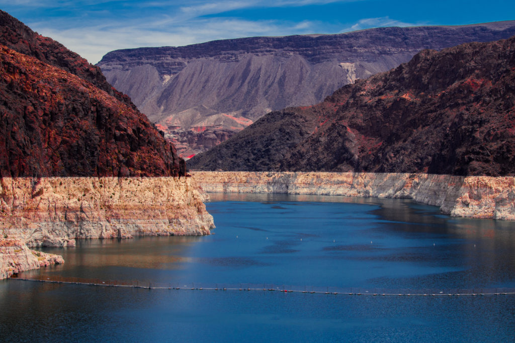
We then visited Hoover Dam and there are tours available in the dam which explains about the history of the dam and process of hydroelectric power generation. The dam was originally called a Boulder dam which was later renamed as Hoover Dam after the 31st president – Herbert Hoover and the dam is self-supported and financed completely through the sale of hydroelectric power generated at the dam. Make sure to stop and visit the exhibits about the dam.
We wanted to visit Valley of Fire National Park on our return journey but after being roamed for two days in the deadly sun, we were dead tired and wanted to rest ourselves before we enjoy the hustle and bustle of the charming Vegas in the late evening.
Pocket Guide
Day 1:
Drive from Vegas through US 89 towards Grand Canyon East – Visit Lone Rock – WahWeap Scenic Point – Lake Powell – Glen Canyon Dam – Antelope Canyons – HorseShoe Bend – Overnight Stay at Flagstaff
Day 2:
Flagstaff – Little Colorado River Gorge Overlook – Grand Canyon National Park through Desert View Drive – Desert Watch Tower – View Points along the way to South Rim – South Rim Visitor Center – View Points – Return back to Vegas
Day 3:
Las Vegas – Lake Mead – Hoover Dam – Return back to Las Vegas
Hope the travelogue provides useful information to plan your trip to Grand Canyon. While some might name it as a wasteland, for me, Grand Canyon is one of the divine abyss and must visit for every nature lover and photographer. I wish to visit Canyon one more time and view the colors and shades of the canyon illuminated by the Sun.
If you visit Grand Canyon (which you must) and follow the guidelines provided here, do let me know and I would love to hear your experiences too.
If you try the recipe, do let me know how they tasted in comments. If you like space, do like and follow my profile at here –
Facebook, Google
Yours Truly
Karthi

Wow .. like the grand canyon .. your blog is also Grand and I am amazed by the way you have captured the details and breath taking photos …
Thanks a lot chandru for stopping by. Hope you liked the travelogue. Hope to see you more often here.
Well planned visit Karthika, will visit other canyons as well sometime. Nice travelogue!!!
Thank you much! Hope you enjoyed the trip. I would love to visit other canyons. Let’s plan sometime soon
Nice Travel plan. thanks guys for making this trip wonderful.
Thank you much Saravanan for your hospitality. Plan for burgh soon.