Capitol Reef National Park
The third National Park which we visited in Utah 5 road trip is Capitol Reef National Park. Unlike Bryce and Zion, Capitol Reef is not widely known and you will find fewer people inside the park. We completed Bryce Canyon National Park and we started around mid-afternoon to Loa, a small beautiful town near to Capitol Reef. The drive from Bryce to Capitol Reef on Highway 12 is the most breathtaking scenic drive through Dixie National Forest.
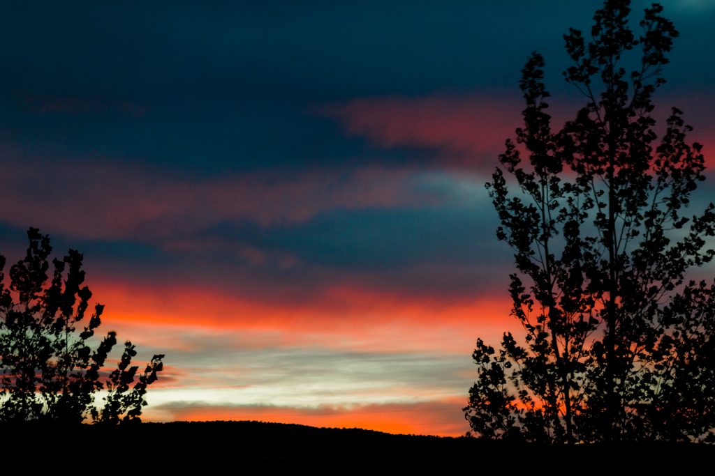
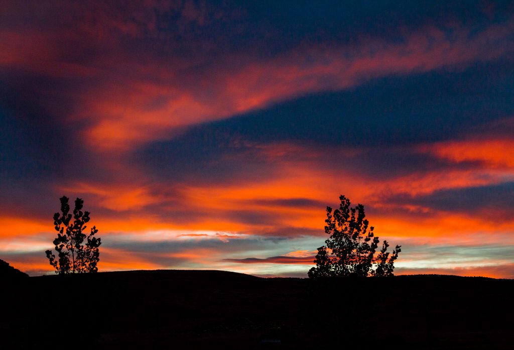
Bryce to Capitol Reef: Scenic Drive through Highway 12
I would like to mention about the drive, if not, I will be hiding the best road trip we ever had with my readers. Yes, it’s absolutely stunning and if you wish to drive in adventurous areas, then I would recommend to take up this scenic route from Bryce to Capitol Reef. The drive alone is an extraordinary experience by itself. It will be an adventure worth remembering. SAN really loved driving on this scenic byway and he said he was thrilled to drive in the narrow road along the cliffs, red canyons, open ranges, and slick rocks. Please ensure to stop in some of the pullouts to observe the beauty of the landscape. You will thank me later. You will witness rolling slick rock, buttes and mesas, snaking canyons and rock walls with mineral stains. Every turn on the way holds surprise – dense forests, grassy meadows, sagebrush in open space and red canyons.
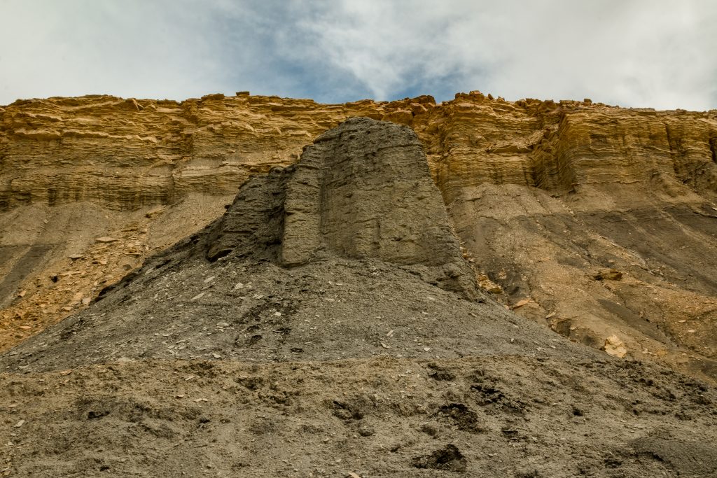
Canyons – Highway 12
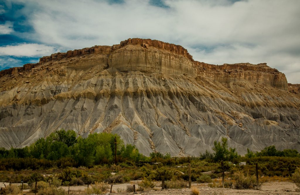
Canyons – Highway 12
The most incredible views are around the town – Escalante. Ensure to check out the viewpoint at the highest elevation which gives a view of the entire Grand staircase and the canyons. There is a drive through in the town Cannonville to visit Red Rock Canyon. If you have the luxury of time, then do check out the Wide Hollow Reservoir Scenic Byway. The reservoir is located adjacent to the Escalante Petrified Forest State Park and offers one of Utah’s best and most accessible displays of petrified wood.
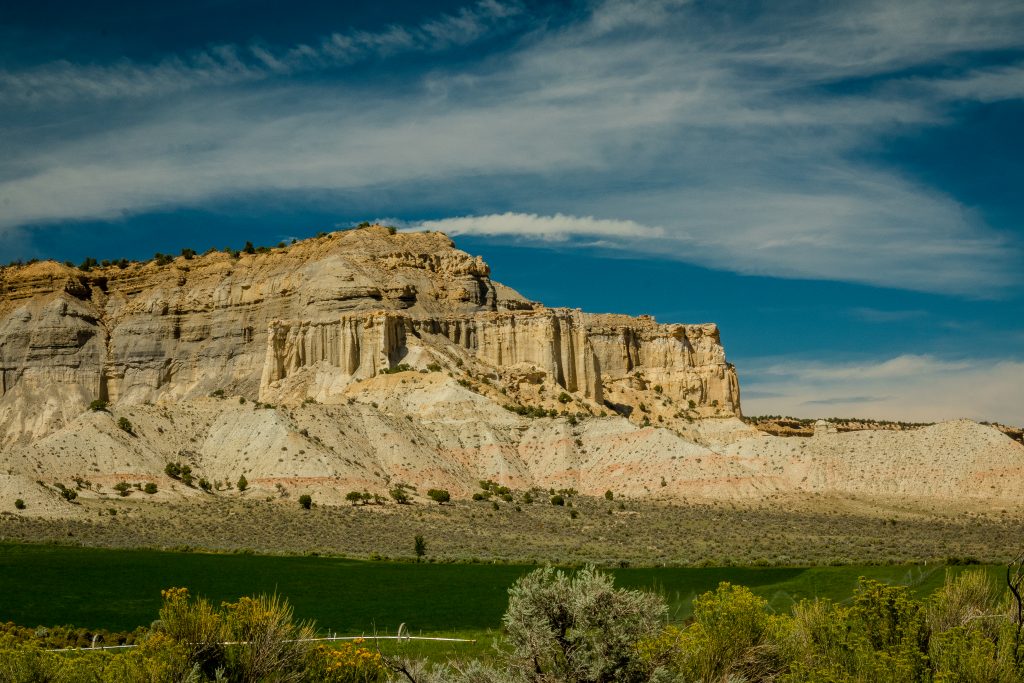
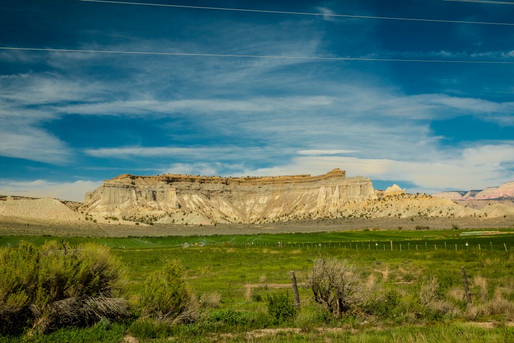
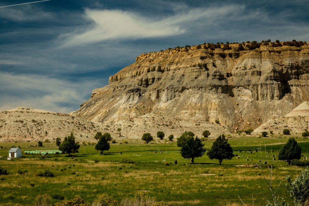
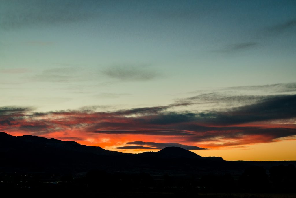
The drive joins Highway 21 once you cross the town Torrey and Highway 12 offers views of farmlands with sprinklers and barns. One will be able to view the isolated red canyons on the side of the road. We stayed in Airbnb in Loa – Loa’s Farm getaway and that’s most beautiful place in our entire trip. The house overlooks the mountains and we were able to watch sunset and sunrise from the back and front of the house. They had farming lands at the back of their home with the sprinklers on and geese flying over the fields. We had a very pleasant stay and we would love to come back to Loa, as I simply loved the place and Jim & Tony were the perfect hosts. Oh, how could I miss their kids? They were adorable.
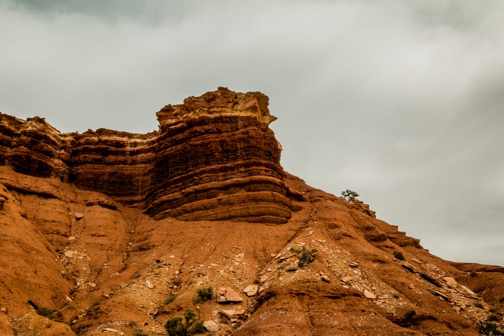
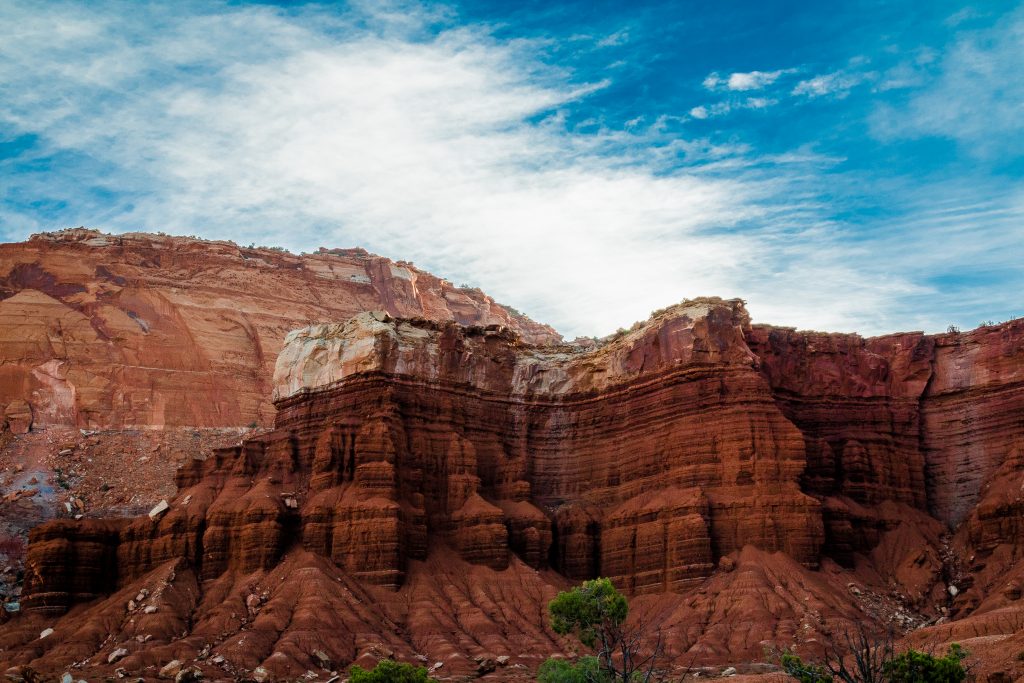
Moenkopi Formation
Capitol Reef – What is it?
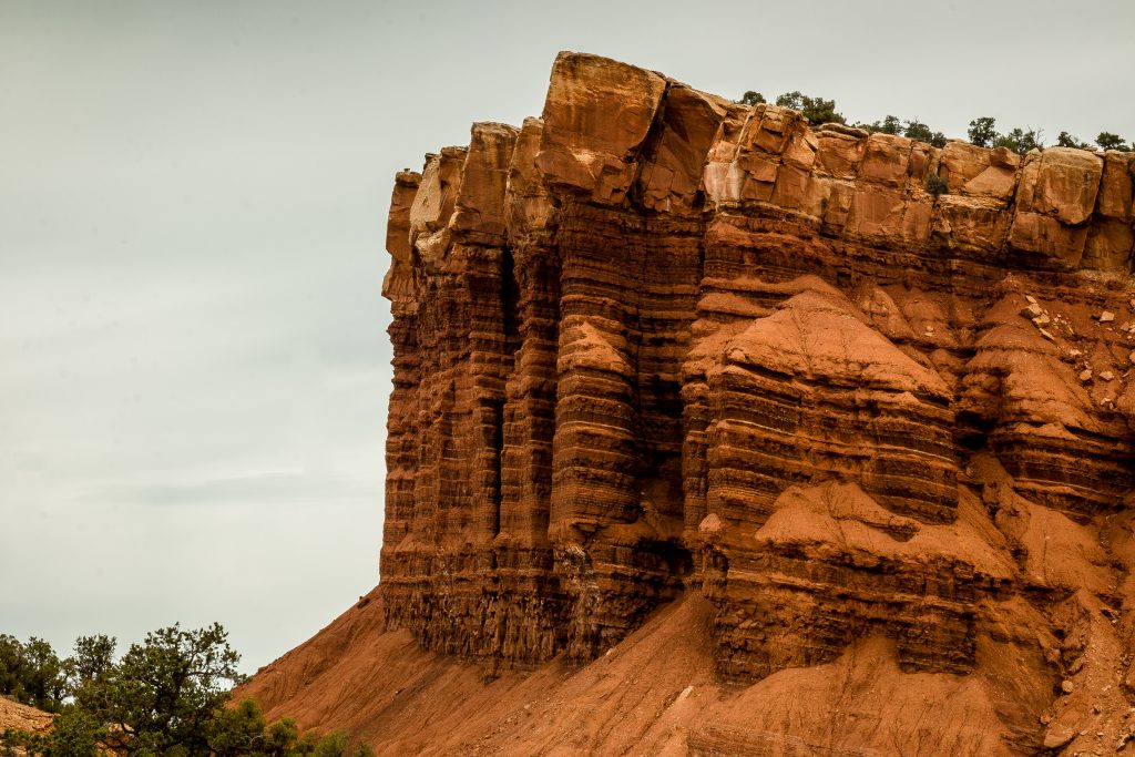
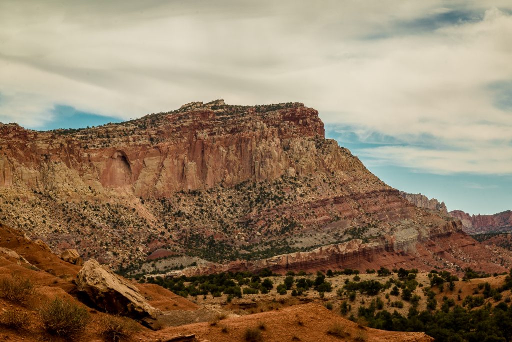
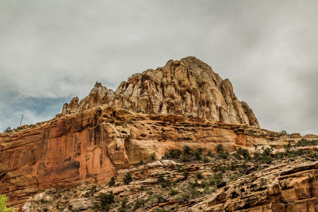
Capitol Reef is one of the five National Park in Utah located in south-central Utah in the heart of red rock country. Of course, the park which is underrated compared to the others in Utah. The white domes of Navajo Sandstone resemble the dome of the Capitol building in Washington, DC and the Waterpocket Fold, an 87-mile long ridge in the earth’s crust, as a reef. Capitol Reef is an excellent place to see many of the geologic features that form Colorado Plateau.
Capitol Reef National Park – What is it known for?
Capitol Reef is known for its three different districts – Waterpocket District, Cathedral Valley, and Fruita Area. The Fruita area is the most accessible among the three and offers views along the paved scenic drive, access to the Historic Fruita District, its orchards, several hikes, Gifford House and Museum.
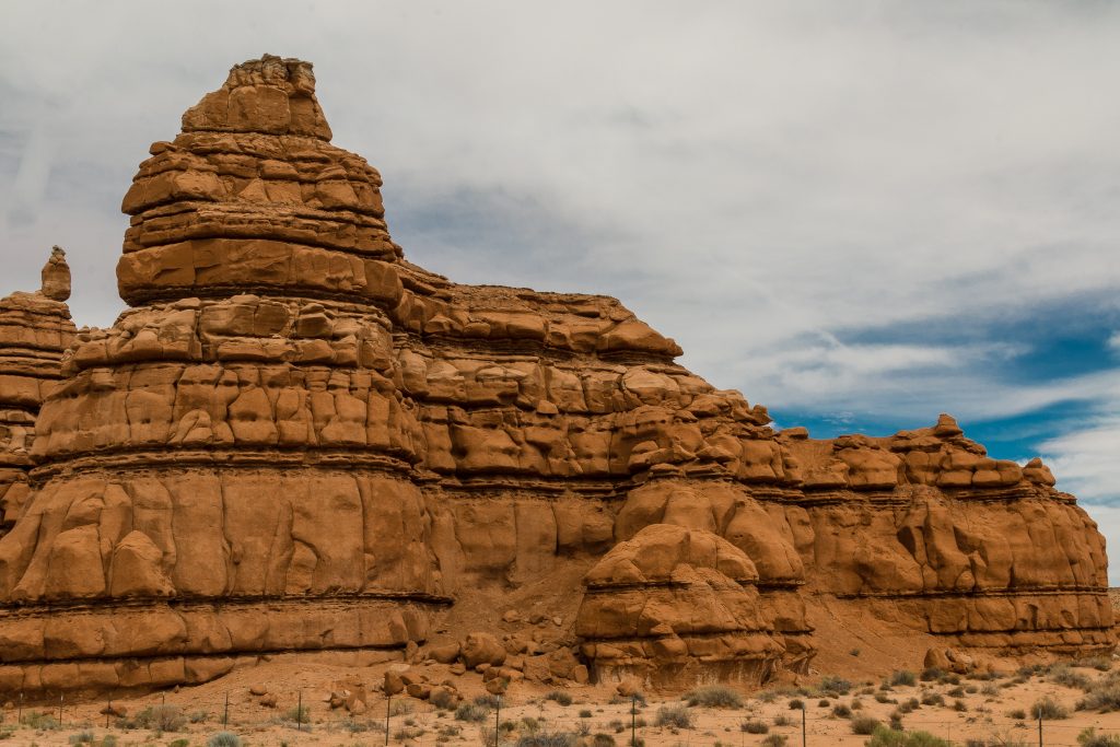
Waterpocket District offers stunning views of Waterpocket fold and hiking opportunities. Waterpockets are basically natural catch basins formed by calcium carbonate and the erosion of sandstone by wind and water. These Waterpockets collect water from rains and snowmelt. They are the major source of water for the desert wildlife and habitat for aquatic mammals. The fold is known for its length and multiple layers of exposed and carved sedimentary rocks. The Waterpocket fold can be best viewed from the south of Notom-Bullfrog Road.
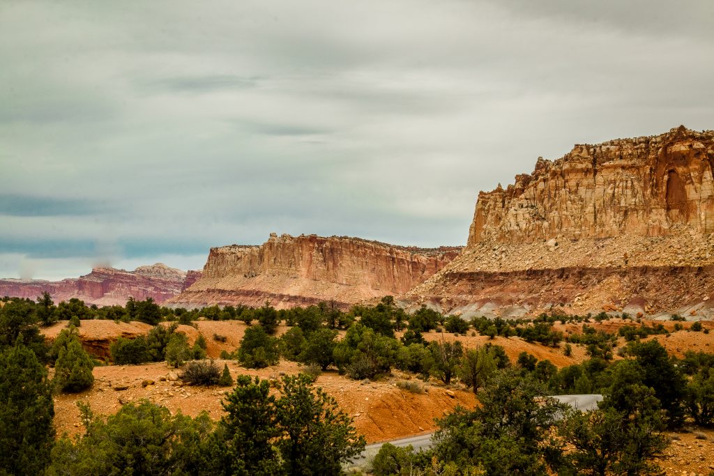
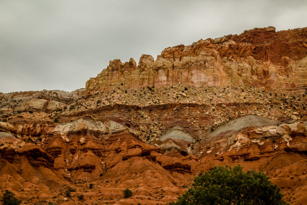
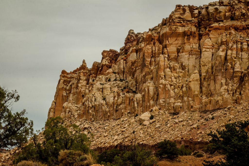
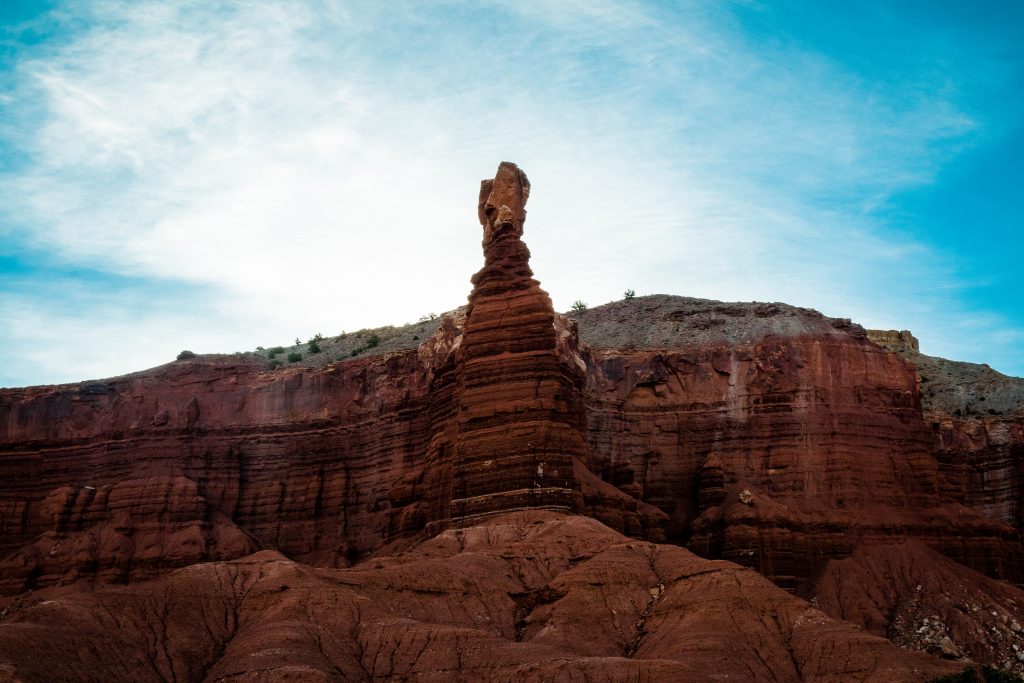
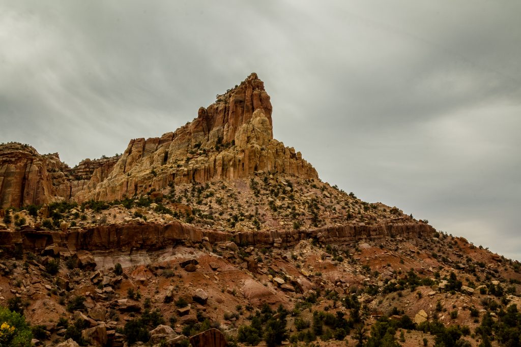
Cathedral Valley has different geological layers and eroded features compared to other sections in the park. The hills across the Cathedral valley are composed of Bentonite clay which was formed during Jurassic times when mud, silt, fine sand, and volcanic ash deposited in swamps and lakes. This clay absorbs water and becomes very slick when wet, making travel difficult or impossible. The upper and lower Cathedral valley are known for monolithic sculptures – Walls of Jericho, Temples of the Sun, Moon, and Stars.
FAST FACTS:
- Capitol Reef NP was designated a Gold Tier “International Dark Sky Park” by the International Dark-Sky Association.
- Waterpocket and the Cathedral Valley District is accessible only by the Vehicles with high ground clearance and four-wheel drive.
- Rains and Snows leave the roads muddy, washed out and impassable to the best high-clearance four-wheel drive.
- Always check at the visitor center about the road conditions if you are planning to visit Waterpocket and Cathedral Valley
- In case if you need help, be aware that the help may not arrive for hours or even for days depending on the time of the year.
- Ensure to carry plenty of water, food, gas, shovel and emergency supplies, in case if you are visiting Waterpocket and Cathedral Valley.
We rented Nissan Rogue and also none of the rented vehicles had high clearance, hence we didn’t visit Cathedral Valley and Waterpocket Fold as we don’t want to take a risk and spoil the rest of our road trip. If you are an experienced hiker, then you can explore the area by foot. Beware of the scorching sun in the area!
Capitol Reef – Top things to do:
- Enjoy the spectacular view at Panorama Point
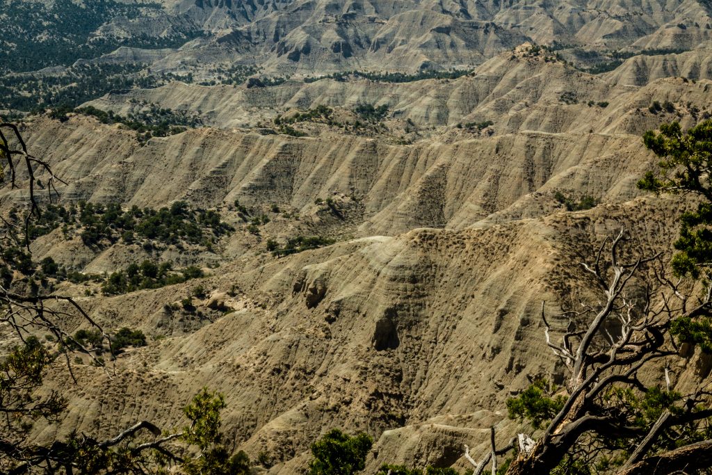
The panorama point is outside the park on Highway 24 and it is the perfect spot for capturing the panoramic views of the canyons. It has a short and uphill paved path from the parking area.
- Check out the Goosenecks Overlook and Sunset Point
The overlook is available outside the park on Highway 24. A 0.2 miles round trip trail offers the views of the bends of the Sulphur Creek and the gorge formed by the erosion over thousands of years. The views are impressive and at the same intimidating. The Sunset Point Trail is accessed from the parking lot of the overlook. The sunset point offers the best view of the Waterpocket Fold and the unique land upheaval. It is 0.4 miles one way along the rim of the canyon.
- Watch Orientation Film at the visitor center
Do check out the park film at the visitor center which clearly explains the history of Fruita district, geology of the park and its habitats.
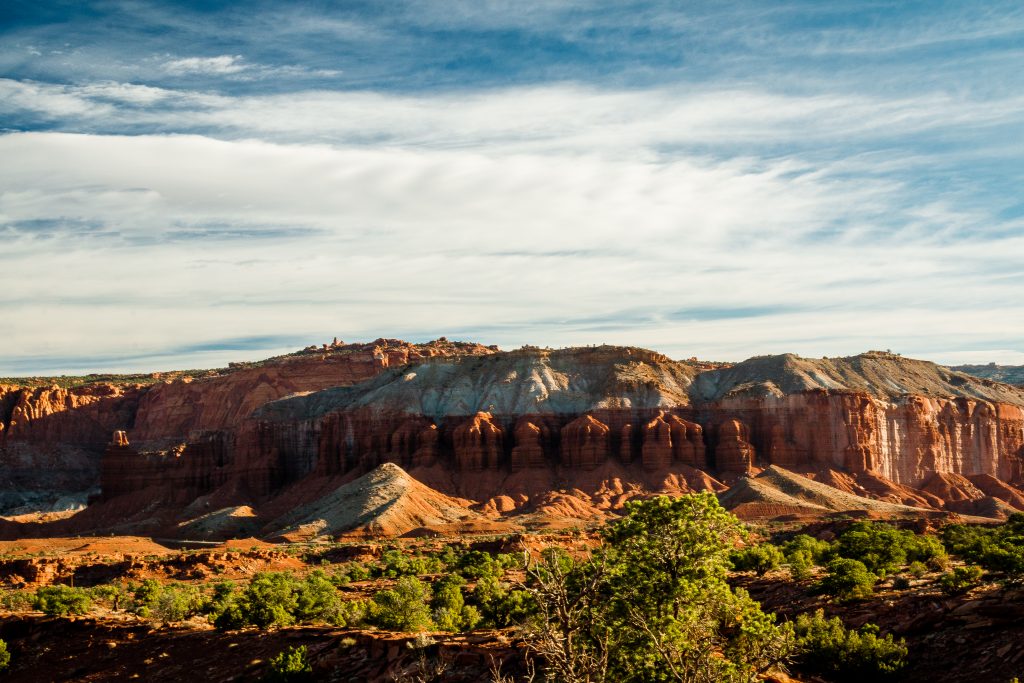
- Drive the 10-mile Scenic drive from Visitor Center to the Capitol Gorge
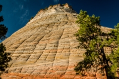
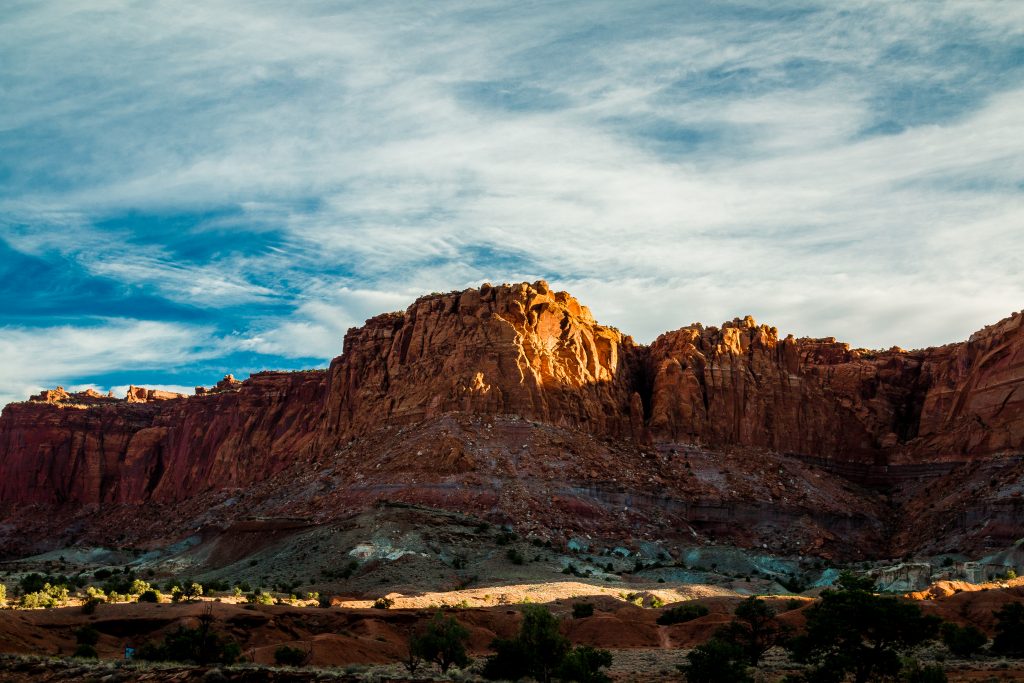
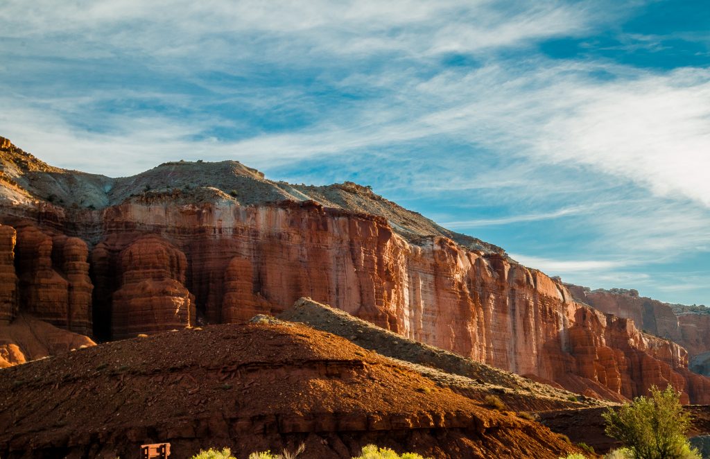
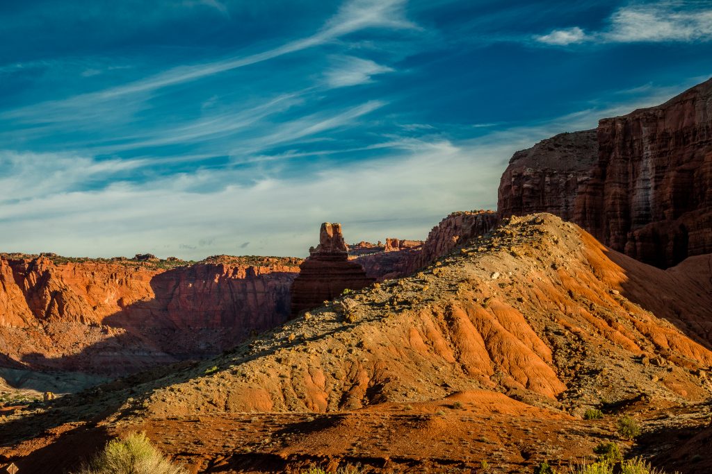
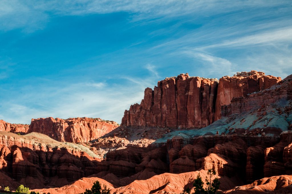
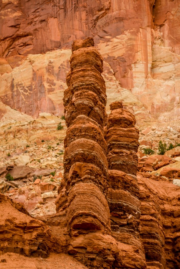
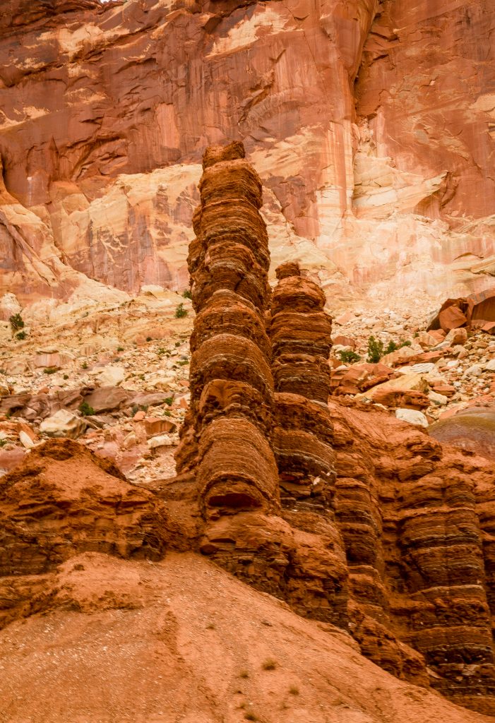
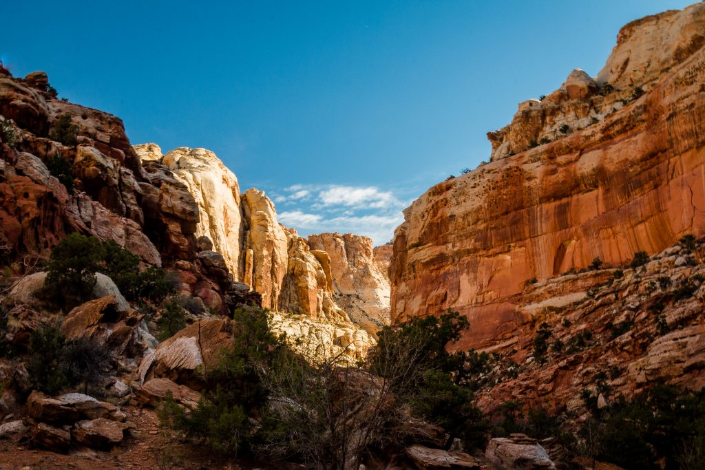
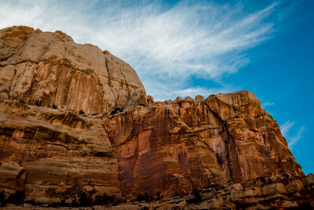
The scenic drive is the only paved path inside the park with the entrance fee of $15 which runs through the Fruita District to the Capitol Gorge. The viewpoints are not marked like the other parks with boards but then you will see the number written on the white post and pullouts. The scenic drive has 11 pullouts and ends in the mud road in Capitol Gorge. You will watch the Moenkopi formation along the entire diver. Moenkopi Formation is thin beds of reddish-brown shale formed from silt and clay from lagoons, mudflats and coastal floodplains and it is 225 million years old. You will also notice tilting of the rock layers formed by the intense crustal pressure beneath the sedimentary rocks.
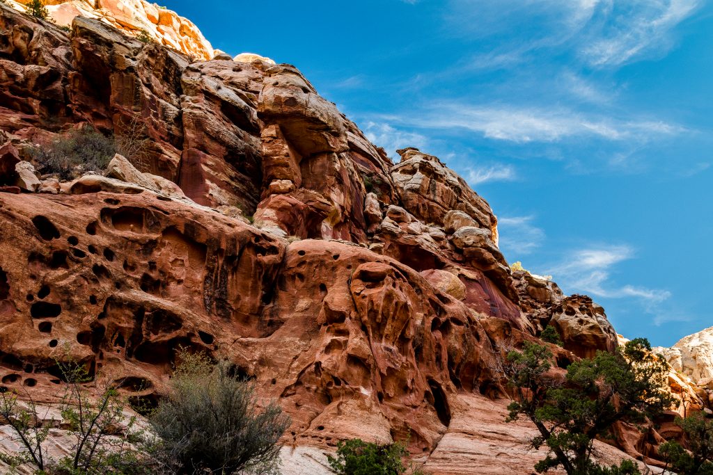
Watch out for the shallow holes in the cliff. The drive offers views of Grand Wash – a narrow, steep-walled canyon. The Cassidy Arch trail and the Grand Wash trail is accessed from Grand Wash. The Grand Wash trail is an easy hike with 4.4 miles round trip where you will walk in the deep canyons and narrows. You will notice the Castle and the slick rock divide in the scenic drive.
*Note, the boards with the names of the viewpoint are usually buried inside the bushes.

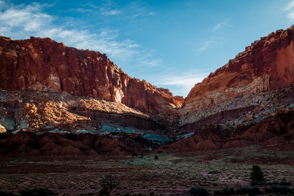
- Drive the Capitol Gorge Road, if your vehicle is up for it
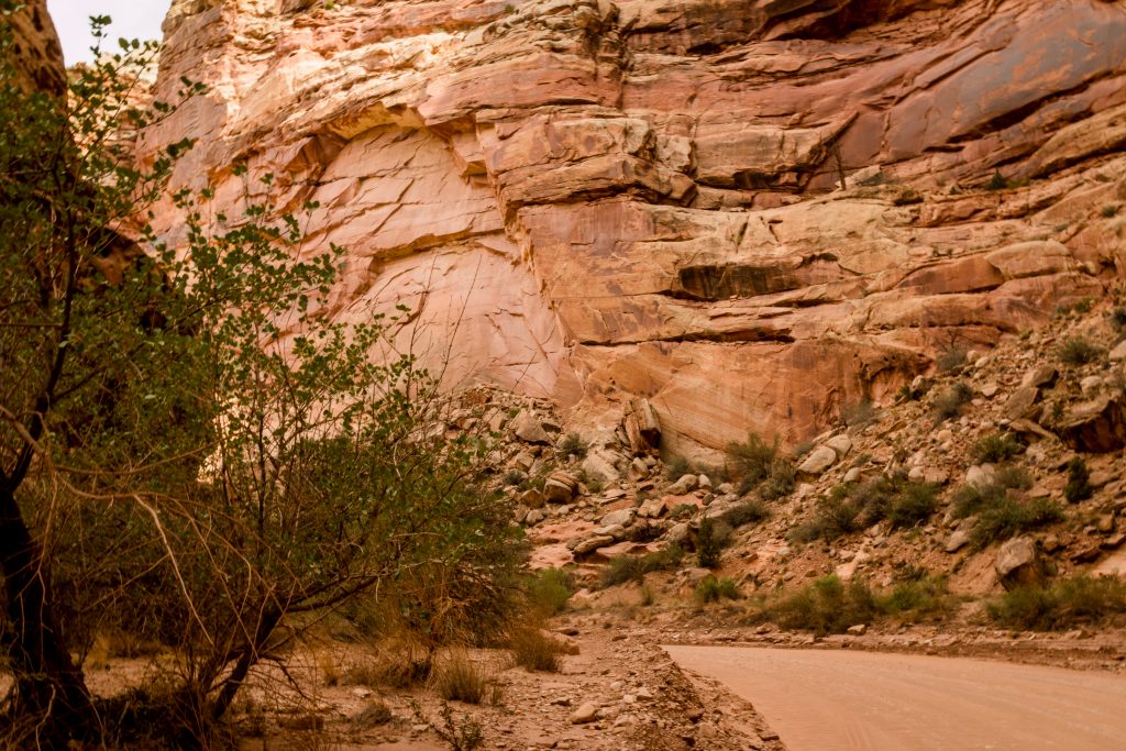
The unpaved dirt Capitol Gorge Roads starts at the ending point of the scenic drive. You will need a four-wheel drive vehicle to drive on the dirt road between the cliffs and narrows. The drive offers you the views of tapestry wall, Capitol Gorge and the Golden Throne. The Golden Throne is visible from the road but if you are an adventure seeker, then do check out 4 miles strenuous hikes to get the stunning views of Capitol Gorge and the Golden Throne. Check out for the petroglyphs by the ancient Mormon settlers along the Pioneer Register trail
*Note: The trial for the Golden Throne and the Pioneer Register starts at the end of the Capitol Gorge Road. Ensure to check with the rangers before you proceed
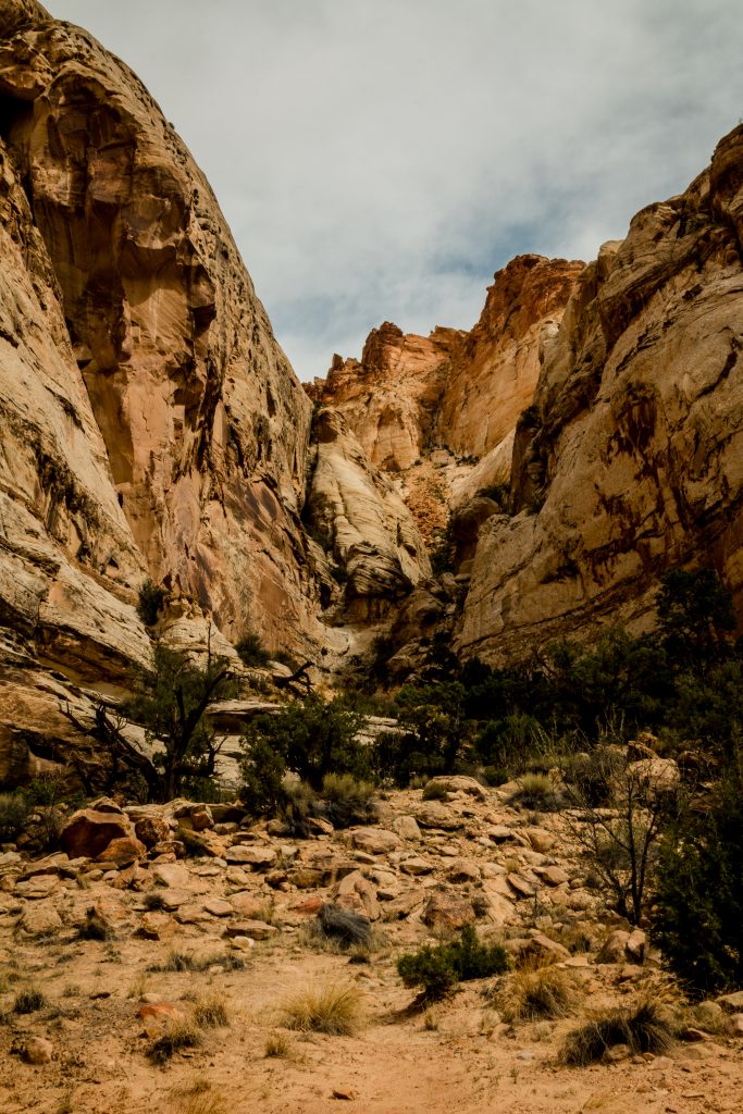
Capitol Gorge
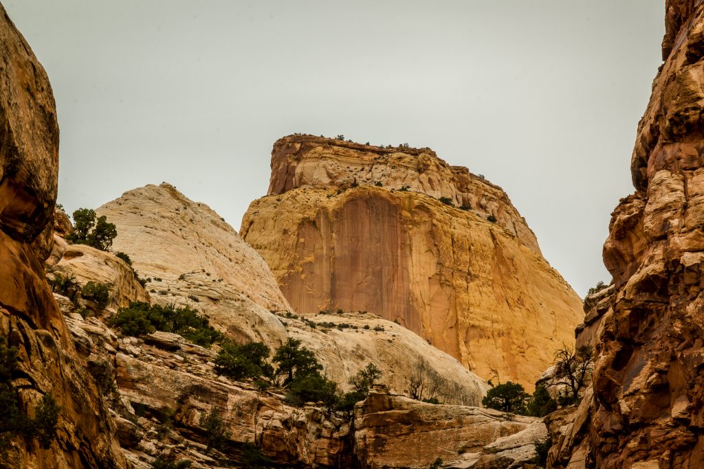
The Golden Throne
- Check out the Historic Fruita District
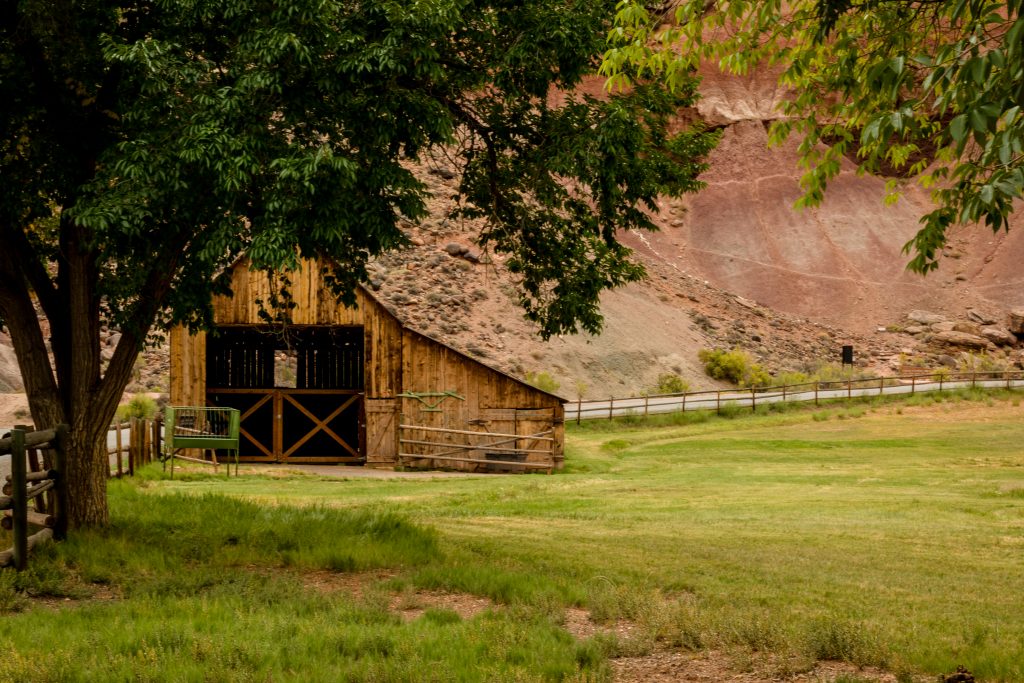
Fruita is a historic Mormon settlement in the desert of the Capitol Reef National Park. The Fruita is currently maintained by the National Park Service. The Mormons came for settlement in the area in 1800’s at the junction of the Fremont River and Sulphur Creek. They build irrigation canals and planted orchards which prospered in the region. During the Great Depression, they were forced to leave the district as they suffered from cash drought. They relied heavily on the barter system for their basic life needs which were affected by the depression. After World War II, the NPS purchased the Fruita property and cited as a “historic landscape”.
A short tour in the Fruits district offers the view of the Orchards, Fruita schoolhouse, blacksmith shop, Fremont River, the Gifford house store and Museum.
- Pick a fruit in the Orchards during the season
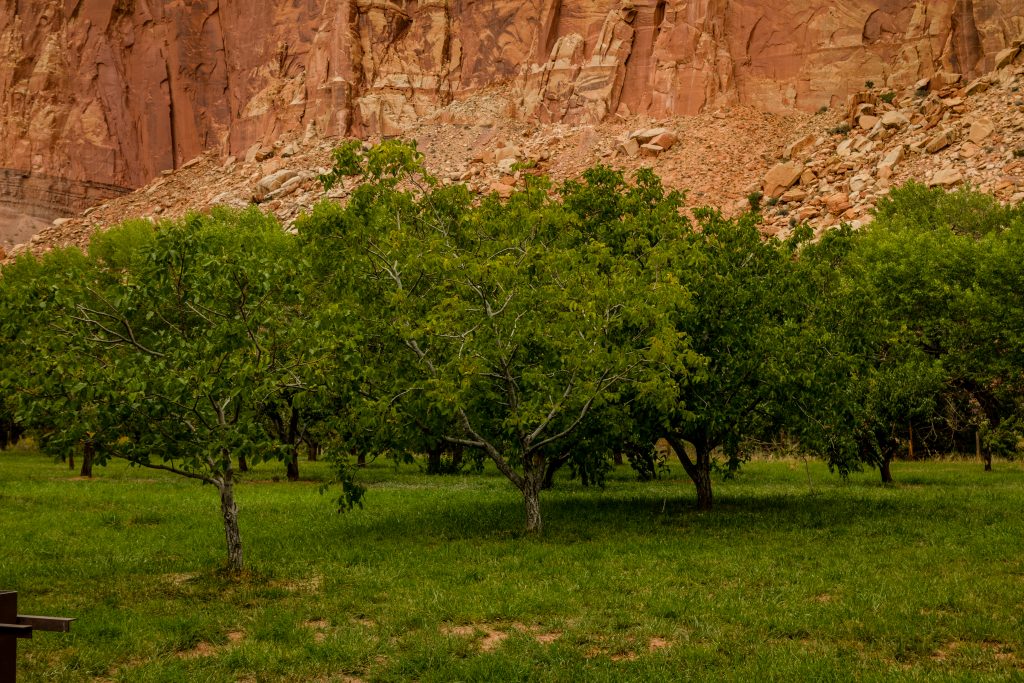
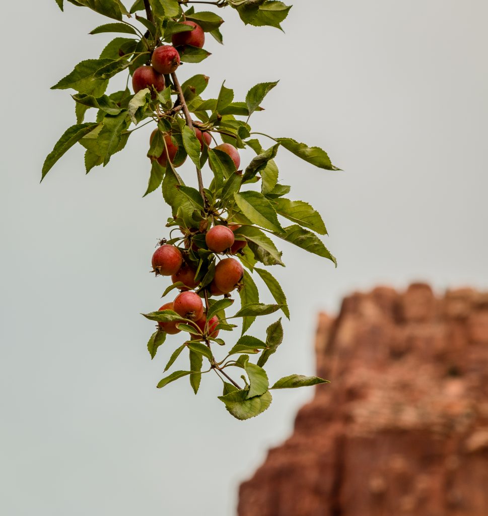
The Orchards in the Fruita district are maintained by the NPS and remains active. It is one of the largest historic orchards in the National Park with almost 3,000 trees which includes apple, peach, pear, apricot, cherry, and plum. Check out the flowering and fruiting season charts at the visitor center. Fruits are free to sample and consume within the orchards, but then a small fee is charged if you want to bring back them with you.
Picnic areas are available in the orchards. Harvest season may vary and hence check with the visitor center at the entrance of the park.
- Grab a pie for your lunch from Gifford House
The Gifford House Store & Museum, 1.1 miles south of the visitor center on the Scenic Drive, is typical of rural Utah farmhouses of the early 1900s. It is open seasonally, with handmade items and baked goods for sale. They do sell pies made from the fresh fruits picked from the orchards. Also, the picnic area is available near to the house. The Fremont River trail is accessed from here. Fishing is permitted on the Fremont River.
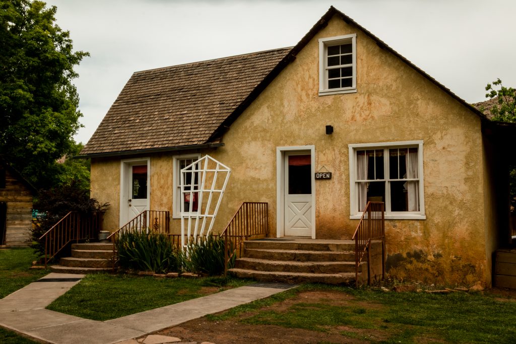
Gifford House
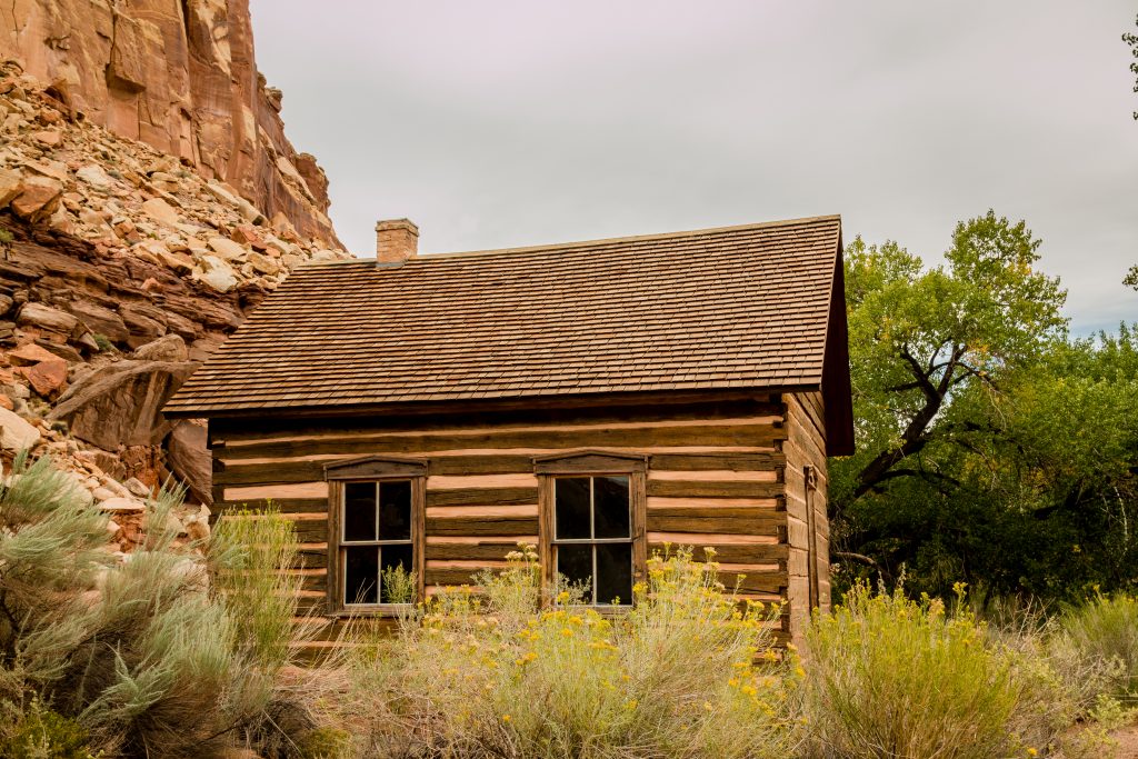
Fruita District School House
- Hike to Cassidy Arch
If you have enough time on hand, then hike to Cassidy Arch on the northern walls of the canyon. The hike is almost 3.5- miles round trip where you will climb up the slick rock to view the natural arch. It is strenuous. And for the most part of the hike, you will be walking directly in the sun. The trail is accessed from Grand Wash. There is also a viewpoint available which provides a glimpse of the Cassidy Arch, but then it’s hard to point out the arch on the canyon walls. The most exciting thing about the arch is you can actually stand on the top of the arch. Isn’t that worth the strenuous hike?
*Please attempt if you have prior hiking experience in the canyons. Most part of the trail is climbing up the slick rocks in the open sun.
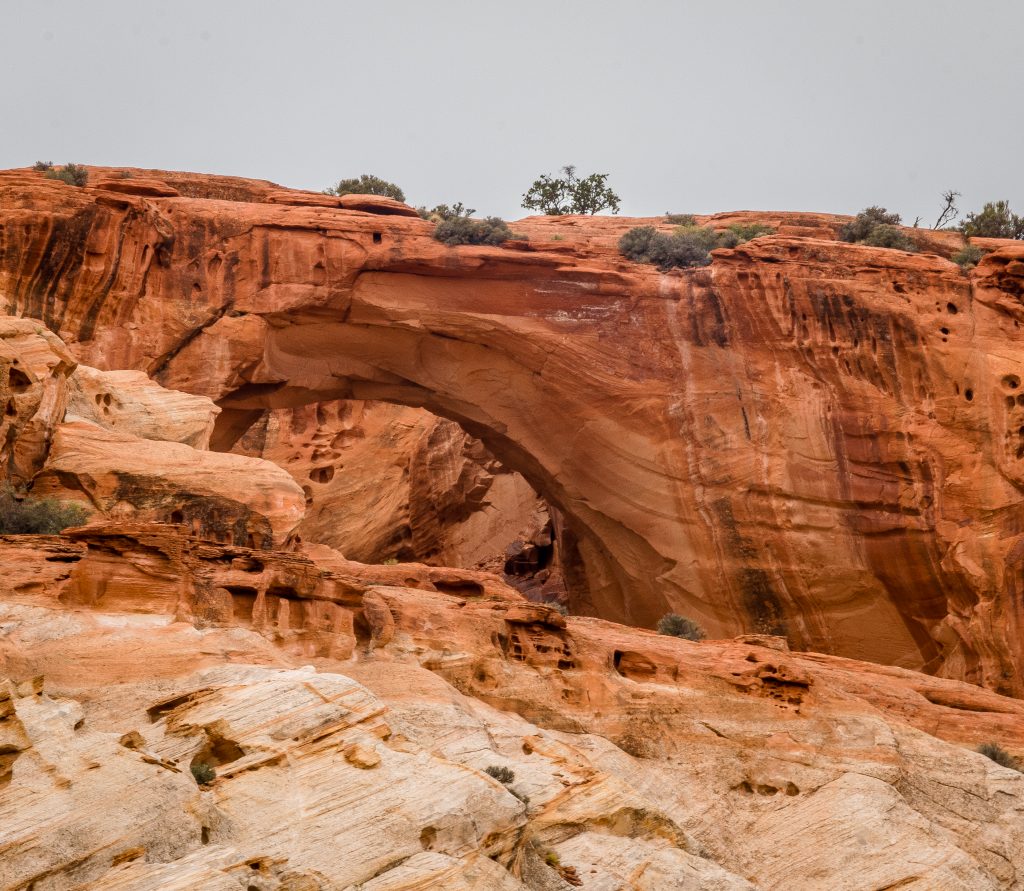
Cassidy Arch
- Check out the Petroglyphs on Highway 24
The native people who lived in Capitol Reef in the period 600 to 1300 C.E have carved petroglyphs into the Wingate sandstone. These actually acts as evidence of their settlement. These petroglyph panels include images of anthropomorphs, bighorn sheep and humans. There is a paved pathway to view them. Take a stroll on the path and check out the Petroglyph Panels.
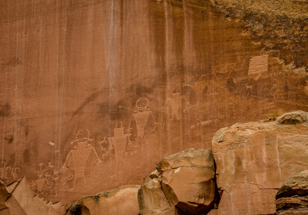
Petroglyph Panels
- Hike to Hickman’s Bridge
Hickman’s Bridge is the most well-known moderate hike located on Highway 24, two miles east of the Capitol Reef Visitor center. The hike is 2 miles round trip which provides access to the miniature bridge – Nels Johnson Natural Bridge, Hickman Bridge – a natural bridge and the Fremont river overlook.
Our Experience:
We reached the Capitol Reef National Park around 8 AM in the morning after checking out the Panorama, Goosenecks overlook and the Sunset point on Highway 24. We watched the Orientation film at the visitor center and after a brief chat with a ranger, we decided to do the Cassidy Arch hike and the Hickman Bridge Hike. We drove up the scenic drive to the Grand Wash road. We didn’t stop at any pullouts as we wanted to complete the hike before it becomes too hot.
We drove on the dirt road in Grand Wash and decided to do the Cassidy Arch Trail. We saw shallow holes on the canyons on our way to the Cassidy Arch trail in Grand Wash. The holes on the canyons represent the presence of Uranium in the area. We climbed up the tapestry wall and the slick rock to get a glimpse of the Cassidy Arch. Oh boy, that was the most strenuous hike we have ever done so far. When we were in the mid of the trail, I had breathing troubles and exhausted completely. The rocks were steep and it’s very hard to hike without proper support. The sun was straight on the face and as I couldn’t proceed further, we have to return back. Yes, we returned back! If I would have continued for next few minutes, I would have fainted.
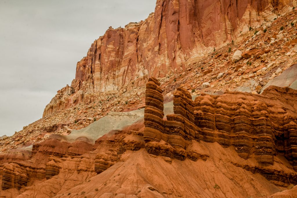
We returned to the viewpoint and it took us almost 10 minutes to figure out the arch. No wonder why Butcher Cassidy and his friends hid in the arch for their safety? The arch is named after him, although there is no evidence for his stay in the arch.
We then drove to the Capitol Gorge road. That’s was one tough drive on the dirt road between tapestry walls and deep canyons. The Golden Throne was visible from the dirt road itself and ensure to pull out to take in the beauty of the Gorge.
On our way return to the visitor center, we stopped on every pullout to get views of Moenkopi Formation, The Castle, The Egyptian Temple, and cliffs. We reached Fruita district around afternoon. Since most of the orchards are closed, we couldn’t pick any fruit but then Gifford House was open. We grabbed a peach pie and had our lunch at the Picnic spot near to the Fremont River. The pie was delicious with fresh peaches and was perfectly baked. After our lunch, we visited Petroglyph Panels on Highway 24, Fruita Schoolhouse and the Blacksmith shop. We couldn’t do the Hickman’s Bridge hike as my friends were worried about my state of health after the hike to Cassidy Arch.
Since we didn’t high clearance vehicle, we couldn’t check out Waterpocket Fold and the Cathedral Valley.
FAST FACTS:
- The hike to Cassidy Arch is strenuous. Attempt if you are only up for it. Know your limits.
- Never attempt to drive on the dirt road if it has rained recently.
- The pies sold at Gifford House are freshly baked with the fruits picked from Orchards. Ensure to grab one.
- If you are an experienced driver and have a high clearance vehicle, then only attempt to visit Waterpocket Fold and the Cathedral Valley
- Slick rock – Smooth and weather sandstone with concrete like surface and dangerous to hikers; easy to lose your footing!
- Petroglyph – images created by removing part of the rock by picking, carving or by any means; a form of rock art
Though we haven’t visited Waterpocket Fold and the Cathedral Valley, I have curated the below details from the park websites for your information and to help you in your planning.
Waterpocket Fold:
The fold is almost 100 miles long and runs north-south from Thousand Lake Mountain down to Lake Powell. The East-West travel across the road is difficult but the Notom-BullFrog Road which runs parallel to the Fold provides access to the Waterpocket Fold. Some of the major points can be accessed from the road itself and are listed below:
- Burr Trail Road Junction
- Lower Muley Twist Canyon
- Upper Muley Twist Canyon
- The Post
- Hall’s Creek Overlook
Cathedral Valley:
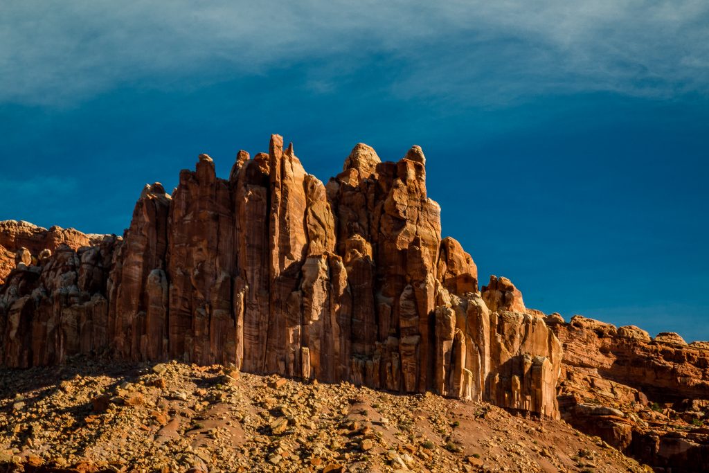
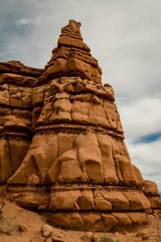
The valley lies in the northern area of Capitol Reef National Park and the 57.6- mile loop through the remote Cathedral District, usually accessible with the high clearance vehicles. It is one of the least known areas in the park and offers you stunning view of the San Rafael wall and closer looks of castle formations. Some of the notable spots on the valley are listed below
- Walls of Jericho
- Temples of the Sun, Moon, and Stars – most picturesque feature and looks beautiful in the morning
- Gypsum Sinkhole – a 200 foot deep and 50-foot wide pit formed when water dissolved the ground made of gypsum
- Glass Mountain – a large and exposed mound of selenite crystals
- Black Boulders
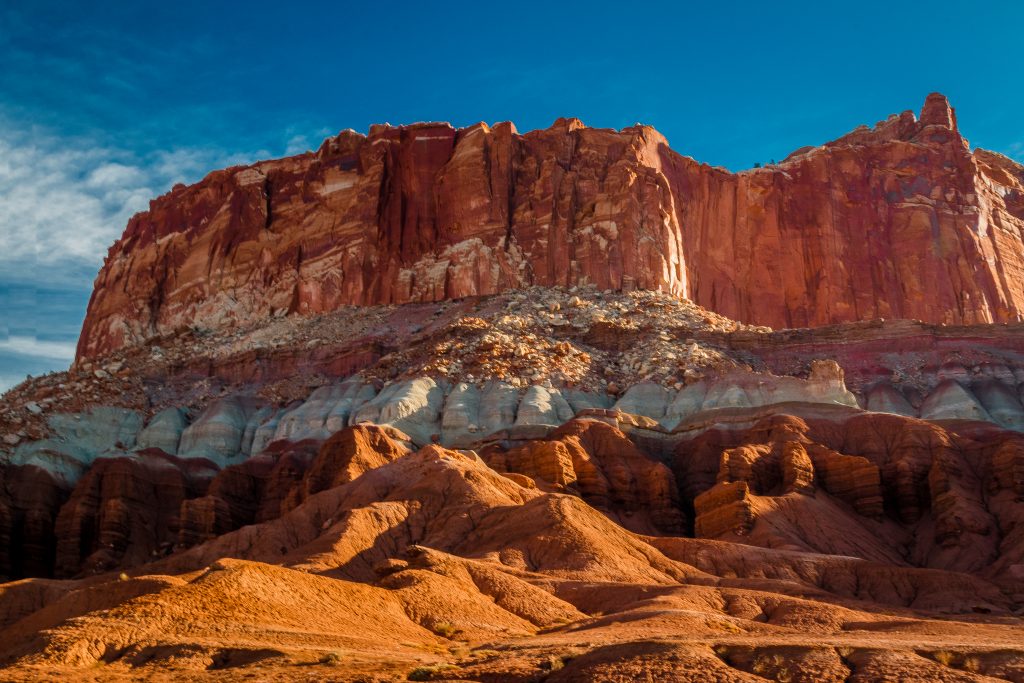

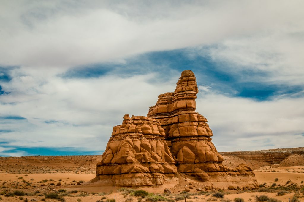
Capitol Reef, one of the most underrated parks has numerous thing to offer and a day is not enough to explore the entire parks. The park is vast and most of the roads are unpaved thus making it more difficult to access and explore, thus making it one of the lesser-known parks compared to the others in Utah. We wish we had high clearance vehicle as we wanted to visit the monolithic temples of the Sun, Moon, and Stars in the early morning when the first rays of the sunlight the bright canyons creating a dreamy and stunning view. Now, we have a reason to visit Capitol Reef National park, one more time.
Hope you liked the post and if you have already visited the park, then I would love to hear your experiences and also suggestions for my next visit. Watch out for the next travelogue about the most favorite part of the trip – Arches!
If you like my travelogue and wish to follow my travel stories further, then do like and follow my profile here – Facebook, Google, Instagram
Thanks,
Karthi
Facts gathered from the Park Website and the Pamphlets. The pictures in the post are clicked by me. The content and the pictures in the post belongs to the author. Reproduction and distribution of the content/pictures without prior permission from the author are prohibited.

